Okanogan Trails Scenic Byway
The Okanogan Trails Scenic Byway spans 80 miles from the U.S./Canada border south to Pateros WA. It traverses the Colville Confederated Tribal Reservation and abuts the Okanogan National Forest.
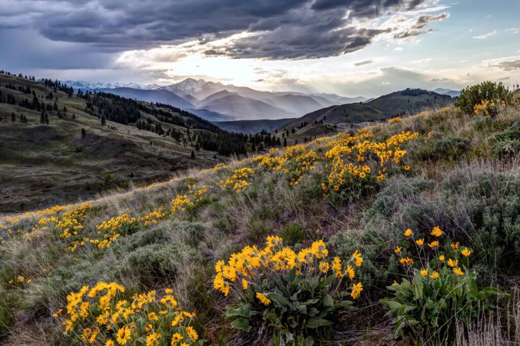
The byway follows the Okanogan River with stunning valleys and rugged hillsides until it flows into the Columbia River. Historical markers tell the story of a rich history of natives and emigrants along the route
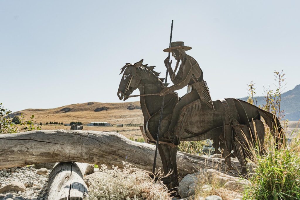
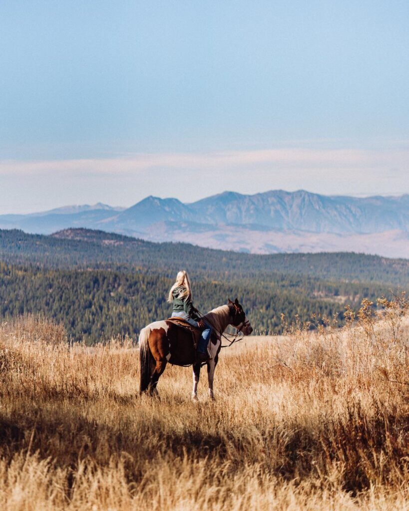
The byway route accesses the Audubon Society’s Great Washington Birding Trail; Osoyoos Lake Memorial Park along with Alta Lake and Conconully State Parks as well as the Highland Historic Loop and the Many Lakes Historic Loop. Activities along the byway include farmers markets, bird watching, golfing, hiking, biking, climbing, horseback riding, camping, skiing, boating, local wineries & breweries, and rodeos such as the Omak Stampede & World Famous Suicide Race.
Key points of interest:
- Old Molson Ghost Town – Old Molson Ghost Town & Museums contain remnants of the early days of Molson, an ore mining town of the 1800s. Visitors can explore a schoolhouse, ghost town, museum and an outdoor collection of original pioneer buildings and artifacts.
- Sinlahekin Wildlife Area – Tucked in a lush river valley in the Okanogan region, the Sinlahekin Wildlife Area provides the opportunity to wander at will, through a rich ecosystem harboring hundreds of species of big game, waterfowl, and native plants. The Sinlahekin Valley parallels Highway 97, about 10 miles to its west, leading north up to the Canadian border. The 14,000 acre DNR Sinlahekin Wildlife Preserve is maintained to provide winter grounds to support deer and ground bird populations for the eastern Cascades and other nearby areas. Just 2.5 miles south of Loomis, the preserve straddles the Sinlahekin Creek and the Coulee Creek watersheds.
Coulee Corridor National Scenic Byway
What’s a coulee? In this part of the country, it refers to the dry canyons gouged out by the Glacial Lake Missoula floods that roared through here several times up until around 13,000 years ago. This breathtaking landscape will leave you wondering if the rest of the world really exists.
It might happen when you gaze up at the expansive blue skyline or after you wind through a coulee and its shadow withdraws from your windshield. Or it might happen when the clean smell of sagebrush hits you like a tonic after a dusty hike to a desert plateau. It could happen when you jump off a boulder into a deep blue lake and are shocked by how warm it is.
Find fishing lakes, desert hikes, little shops, dusty museums, willow-shaded parks and the fields that grow your food. Take a boat to a lakeshore campsite, or stay the night in a cowboy town. Once you experience the world of the Coulee Corridor, you will never forget it and always want to return.
Key points of interest:
- Dry Falls – This is one of the great geological wonders of North America. Carved by Ice Age floods that long ago disappeared, the former waterfall is now a stark cliff, 400 feet high and 3.5 miles wide.
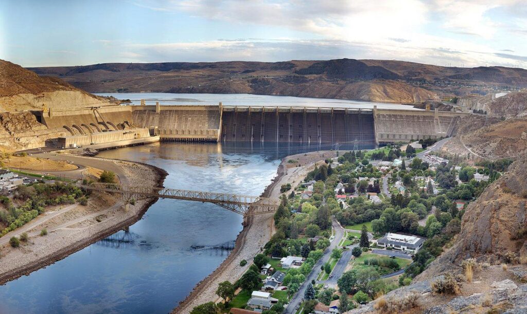
- Grand Coulee Dam – Built during the depression-era between 1933 and 1942, Grand Coulee Dam is the largest concrete structure ever built and remains one of the engineering marvels of the modern world. A 50-minute guided tour is free of charge to the public and available only on a first-come, first-served basis.