
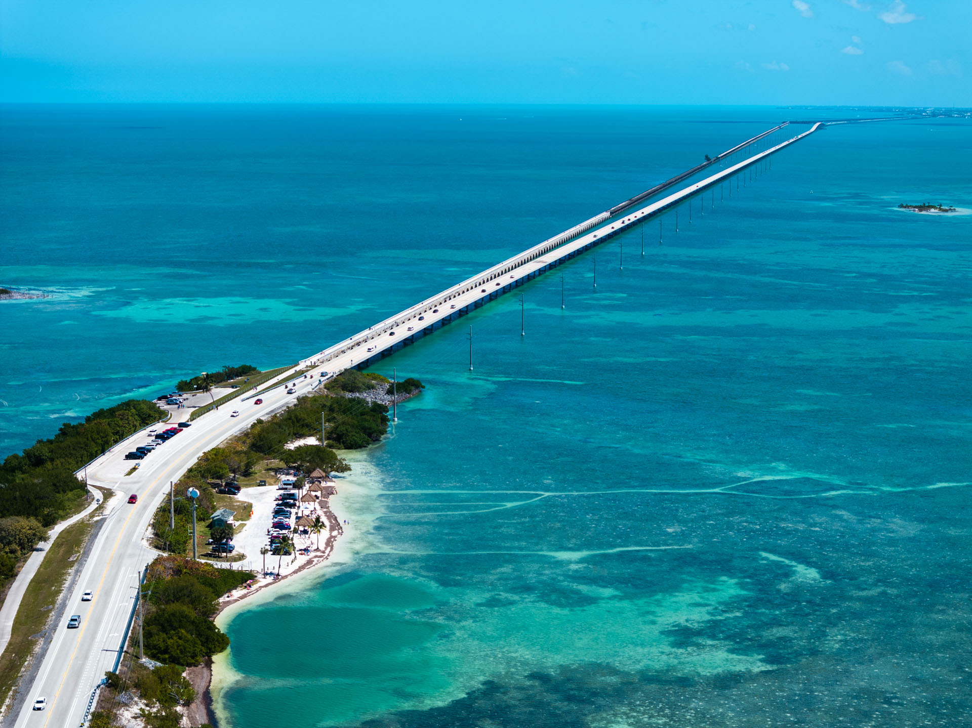
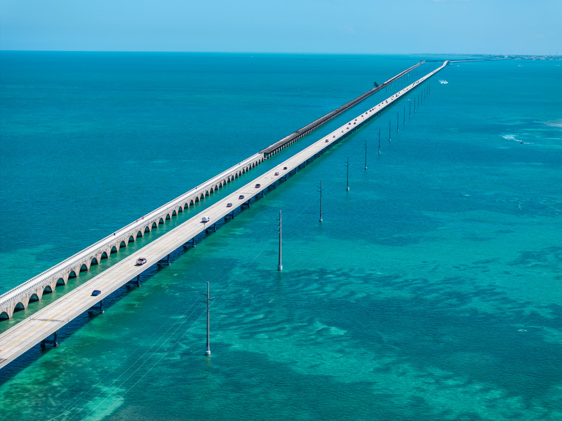
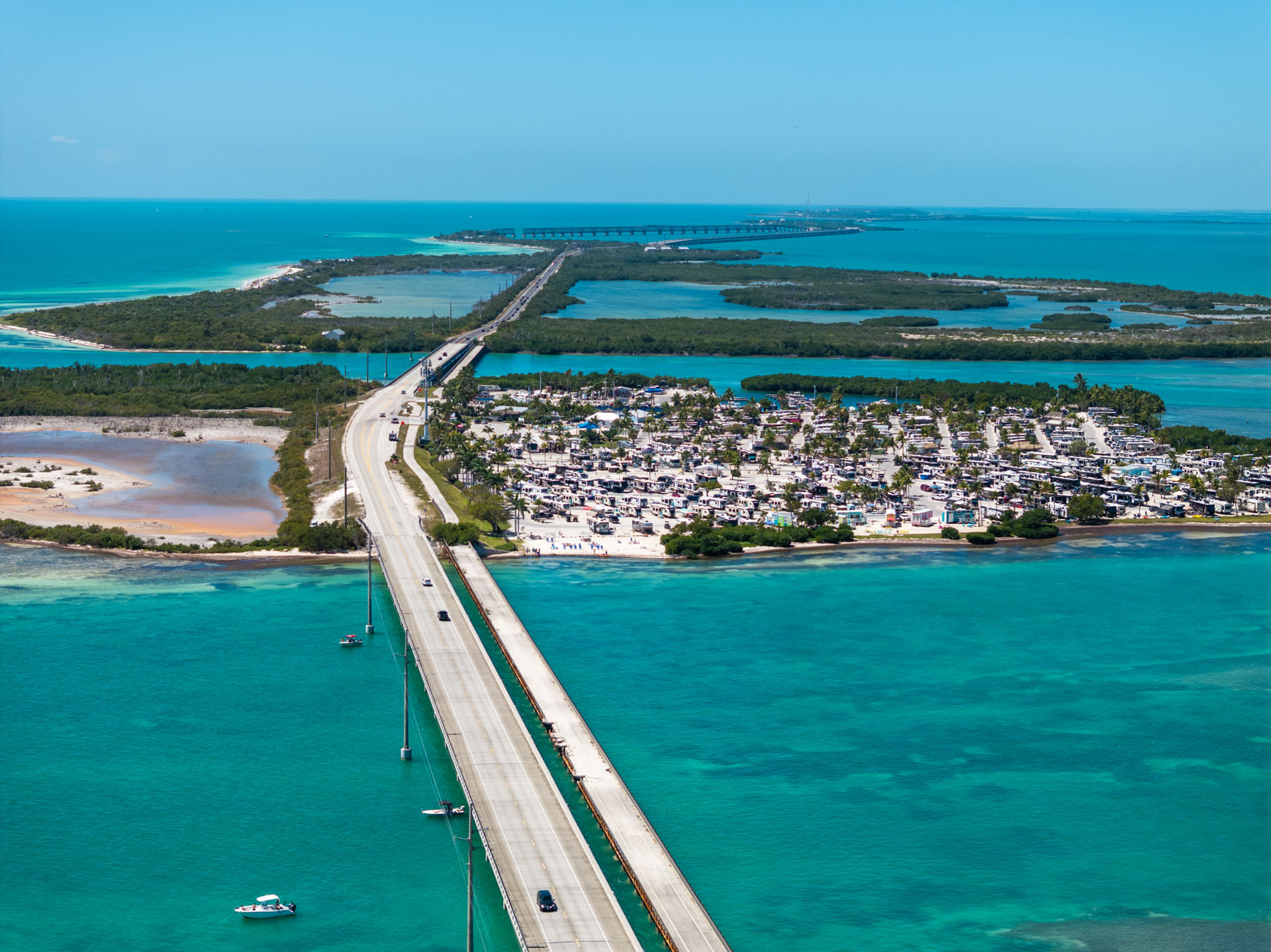
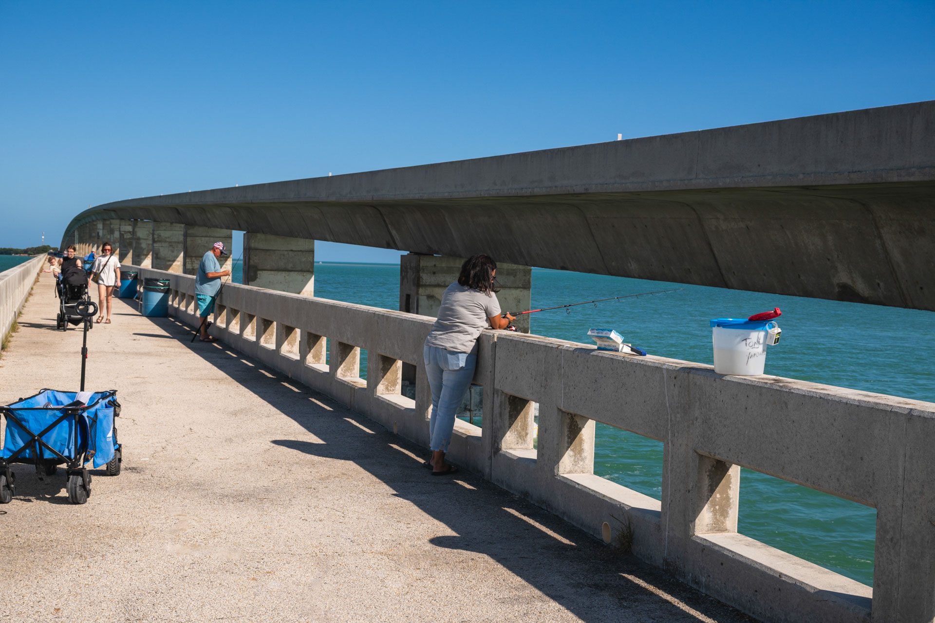
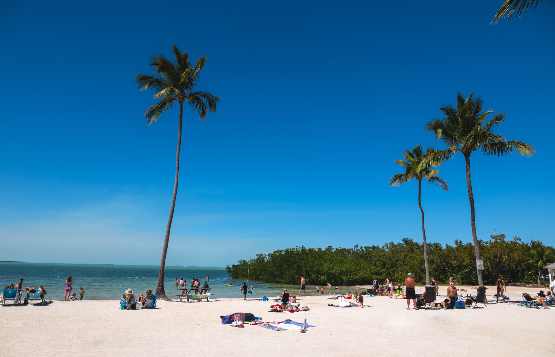
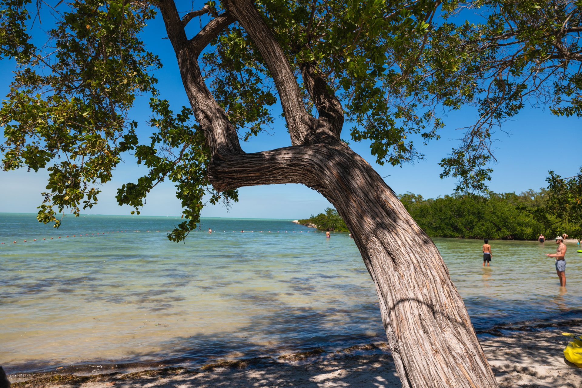
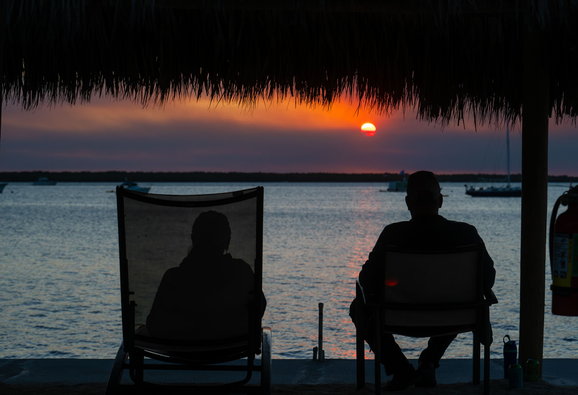
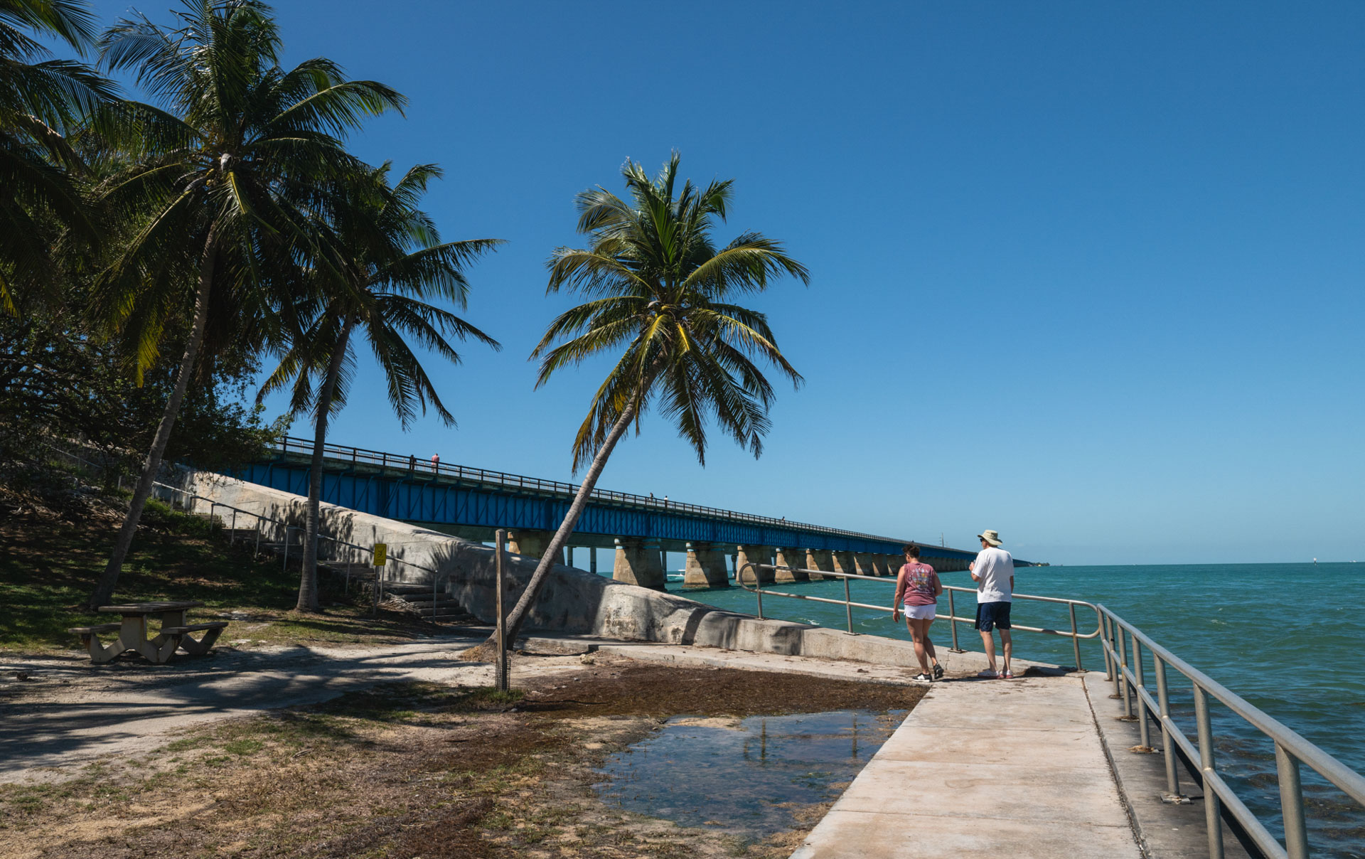
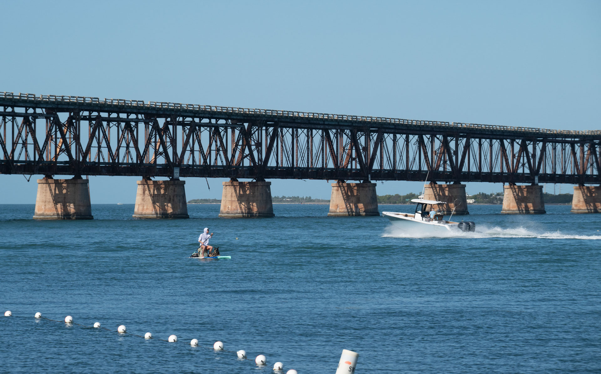
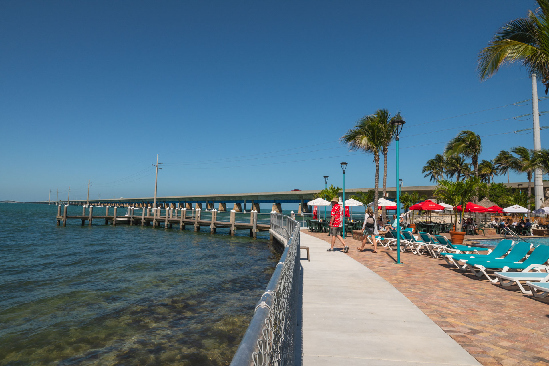
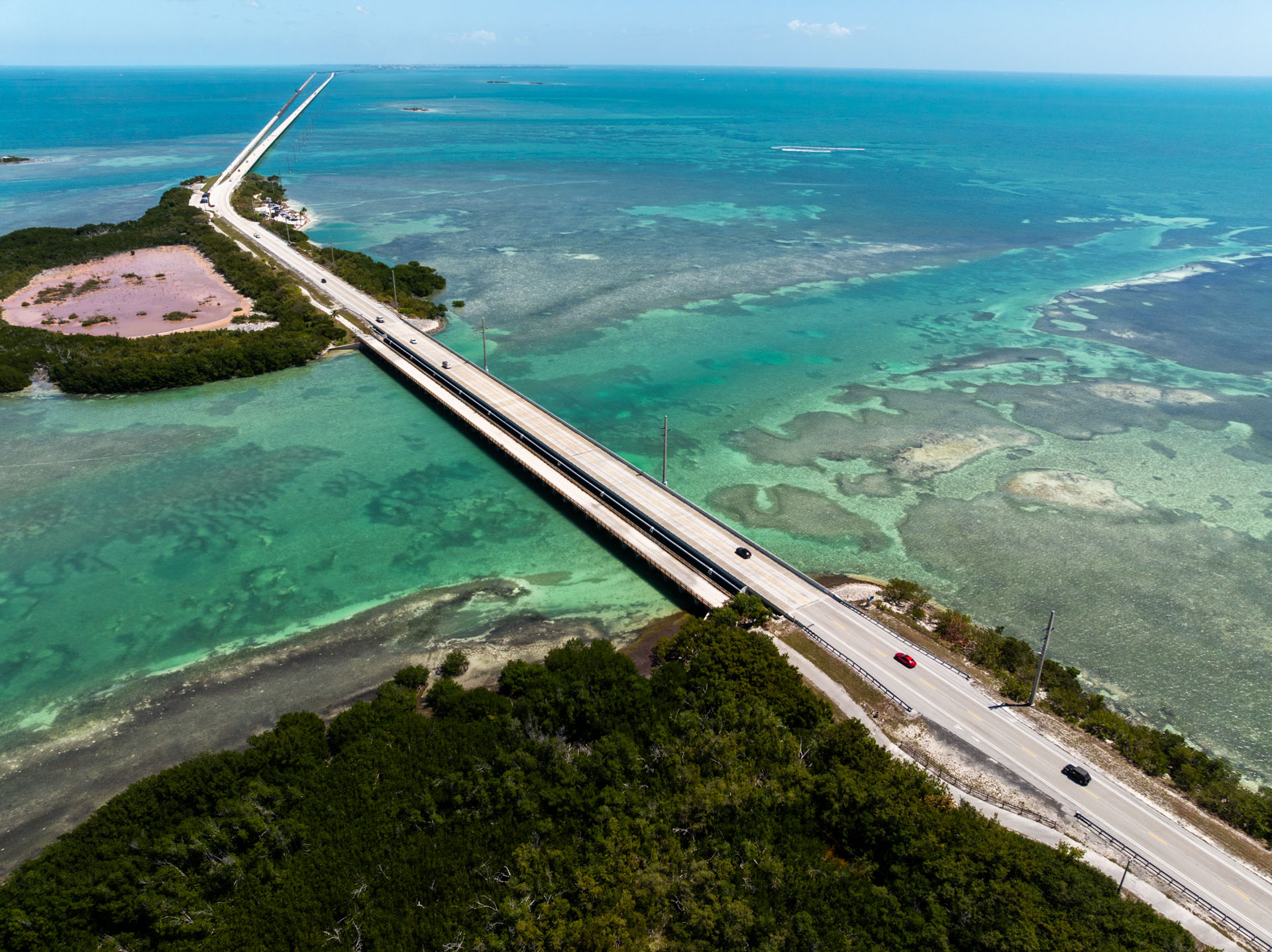
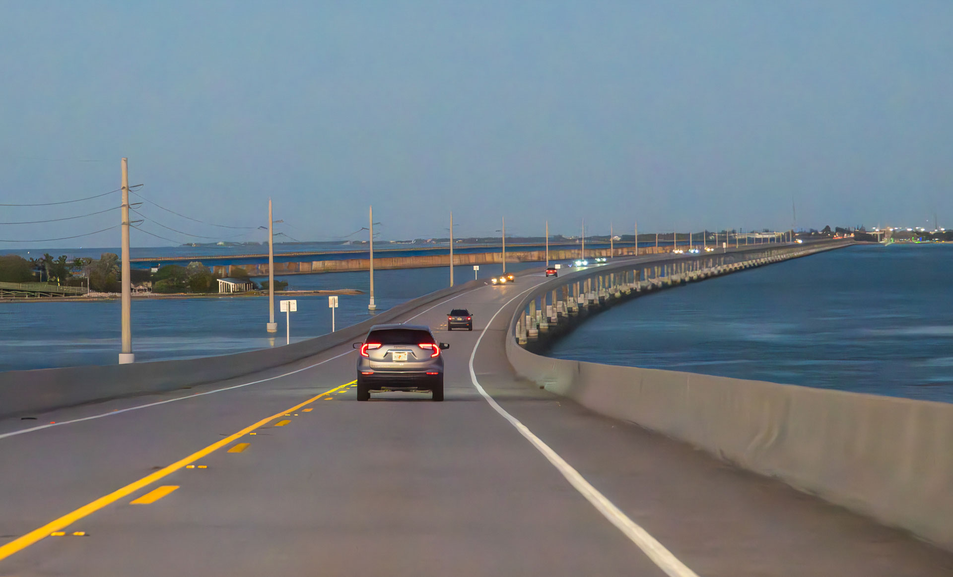
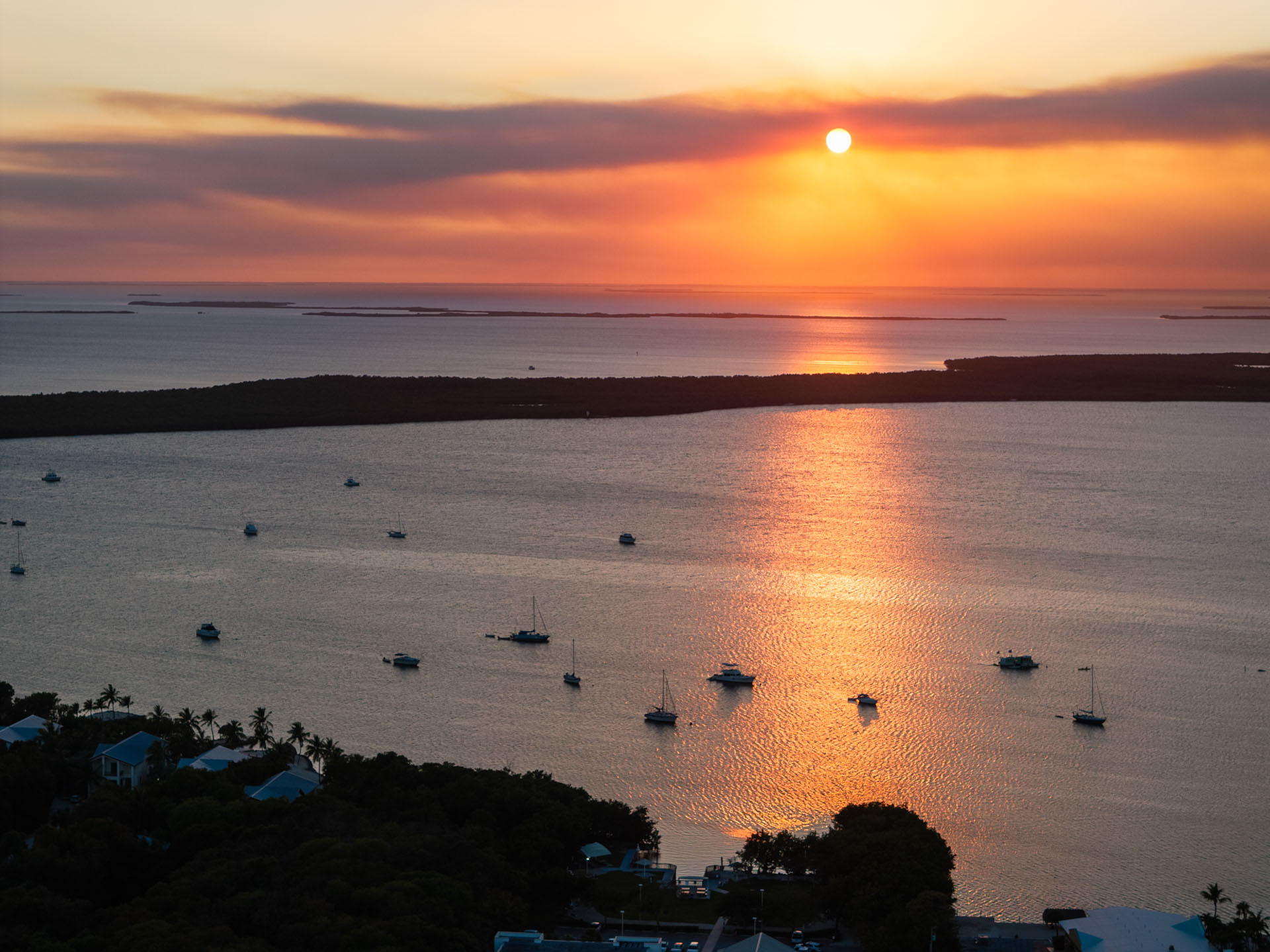
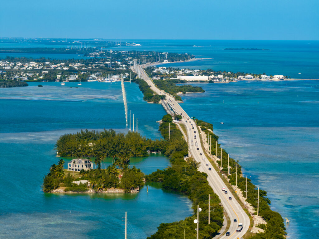
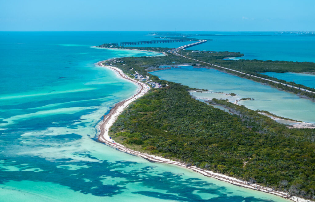
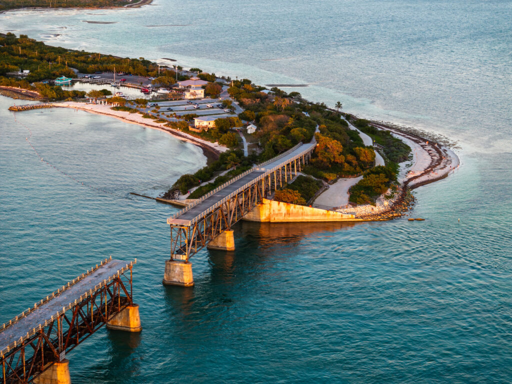
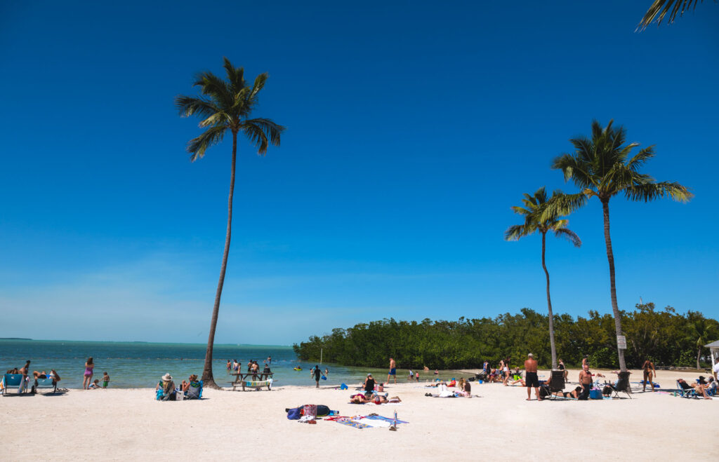
Florida Keys Scenic Highway
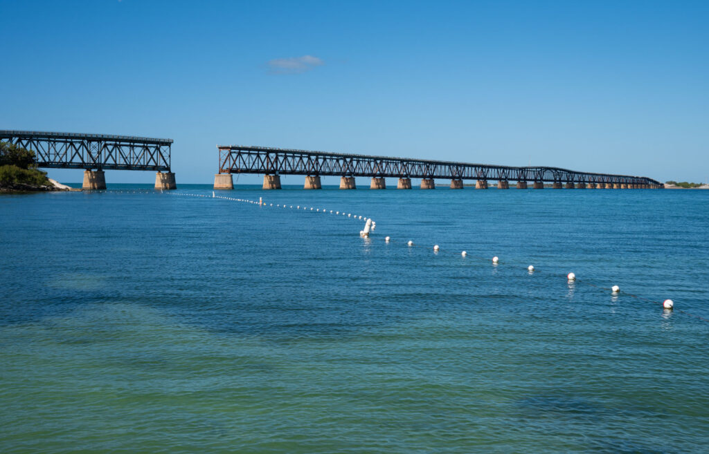
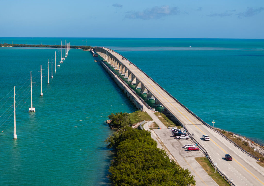
110 Miles and 43 Keys! The Florida Keys Scenic Highway, Florida’s first All-American Road, stretches 110 miles across the alluring islands of the Florida Keys.
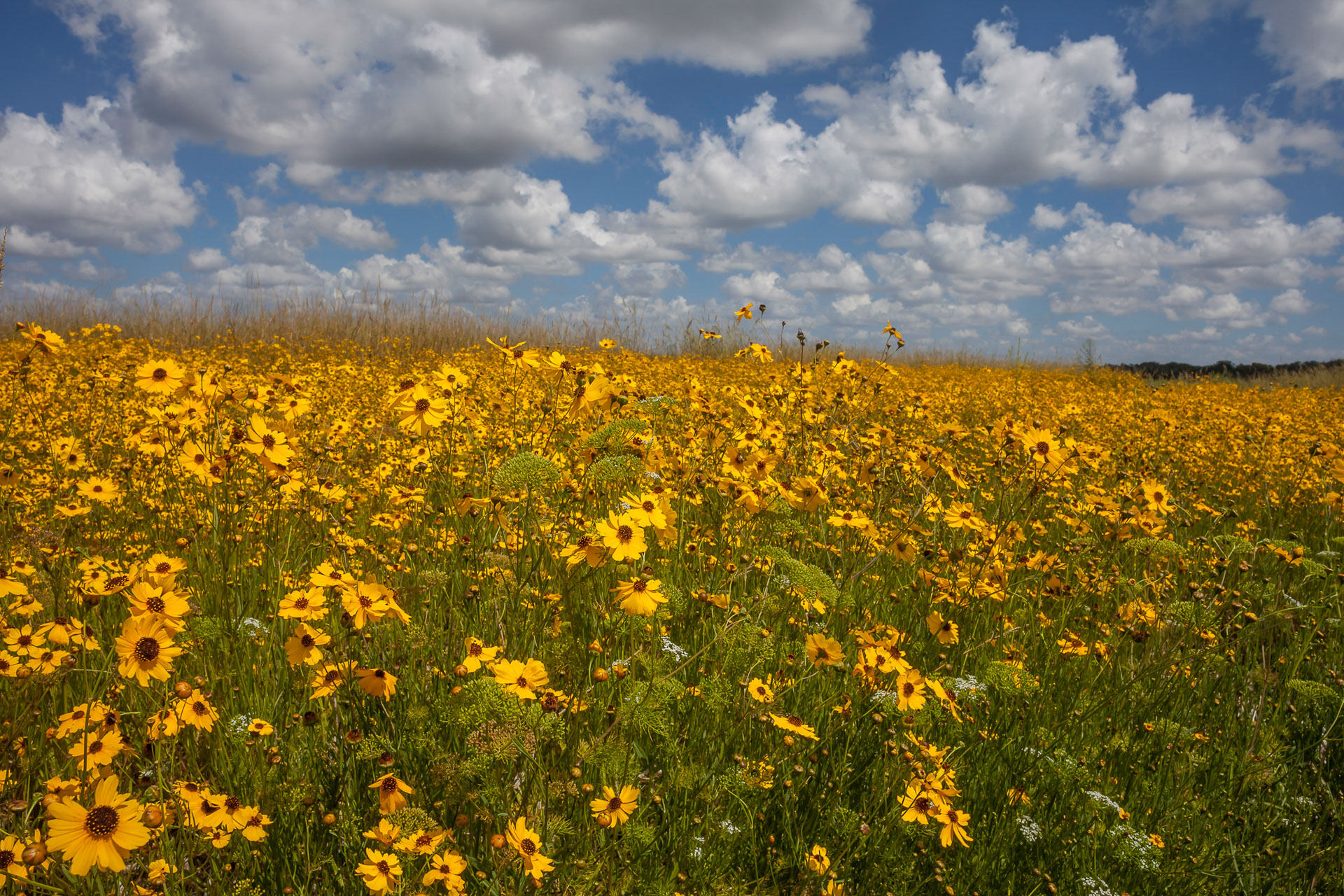
Along the Florida Keys Scenic Highway, you will experience unique panoramic views of turquoise water as you traverse the region. Catch glimpses of dolphins swimming, manatees floating in the shallow waters, and rare birds gliding through the sky next to the byway.
It’s not if, but when you will see an iguana or a gypsy rooster roaming Key West, the most Southern gateway to the byway and to the U.S. itself!
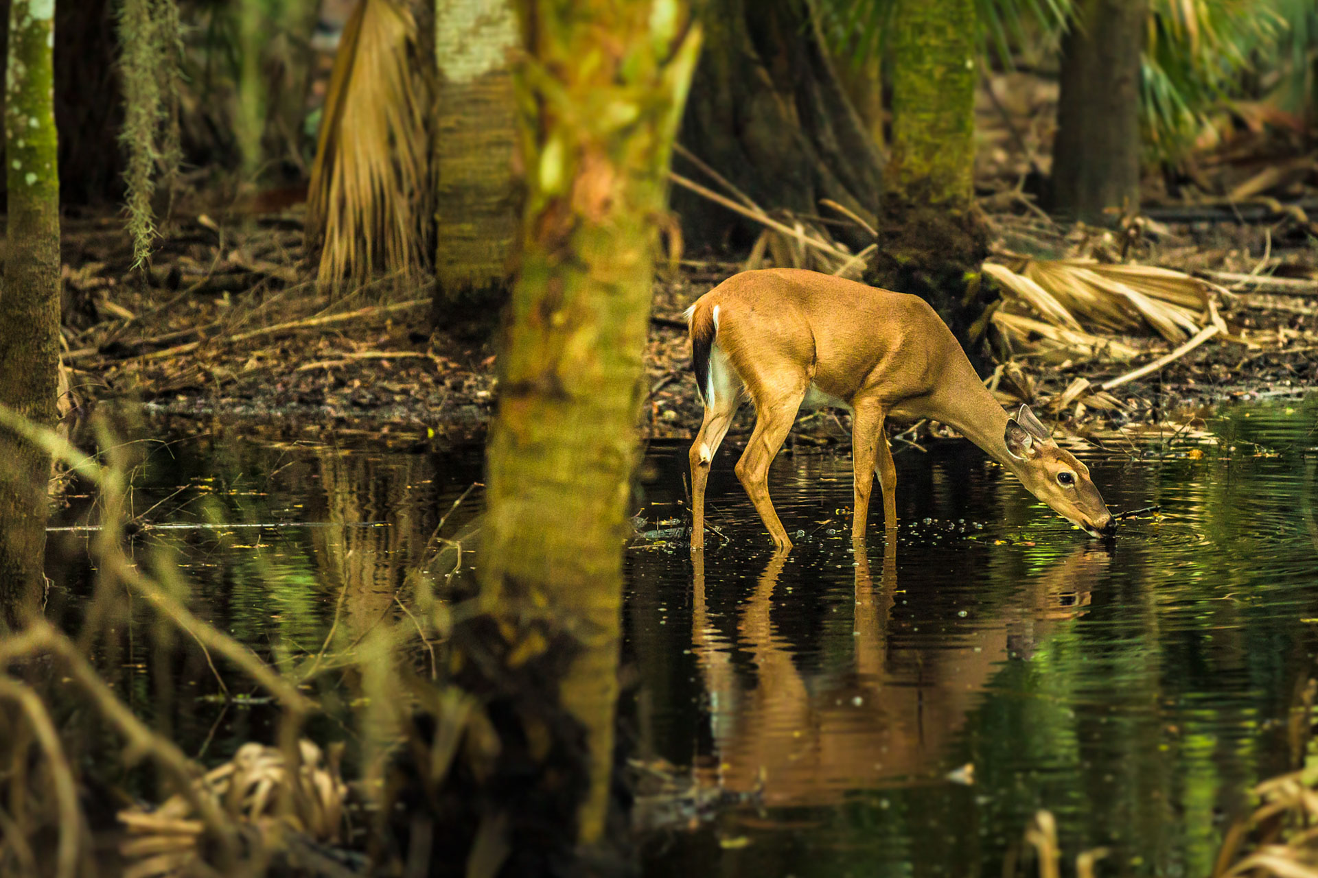
Many endangered wildlife live in or migrate through the Florida Keys, including the Florida Manatee, Key Deer, Osprey, Bald Eagle, and Green Sea Turtle. The coral reefs and mangroves also provide habitats for thousands of fish, crustaceans, mammals, and sea creatures.


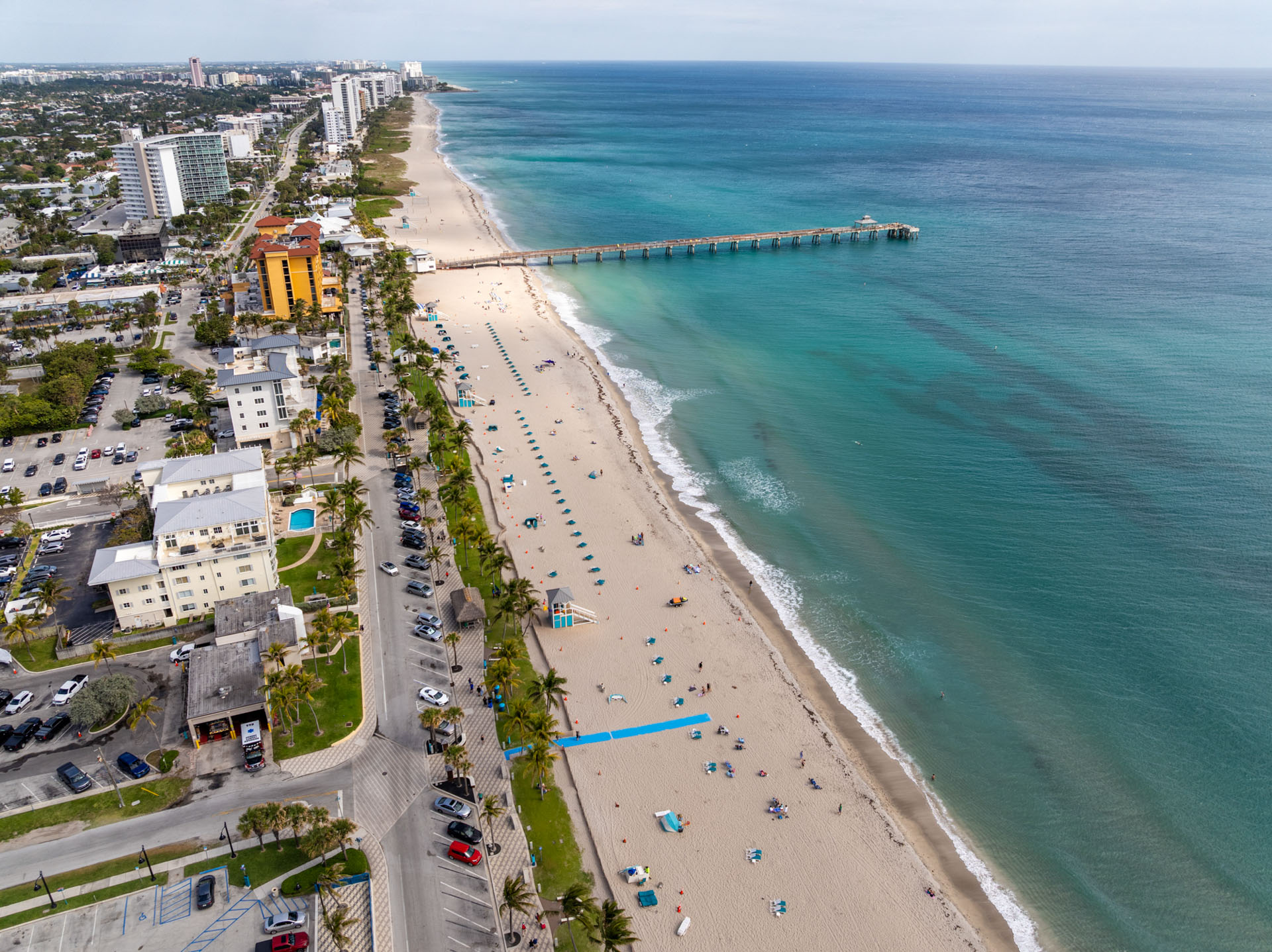
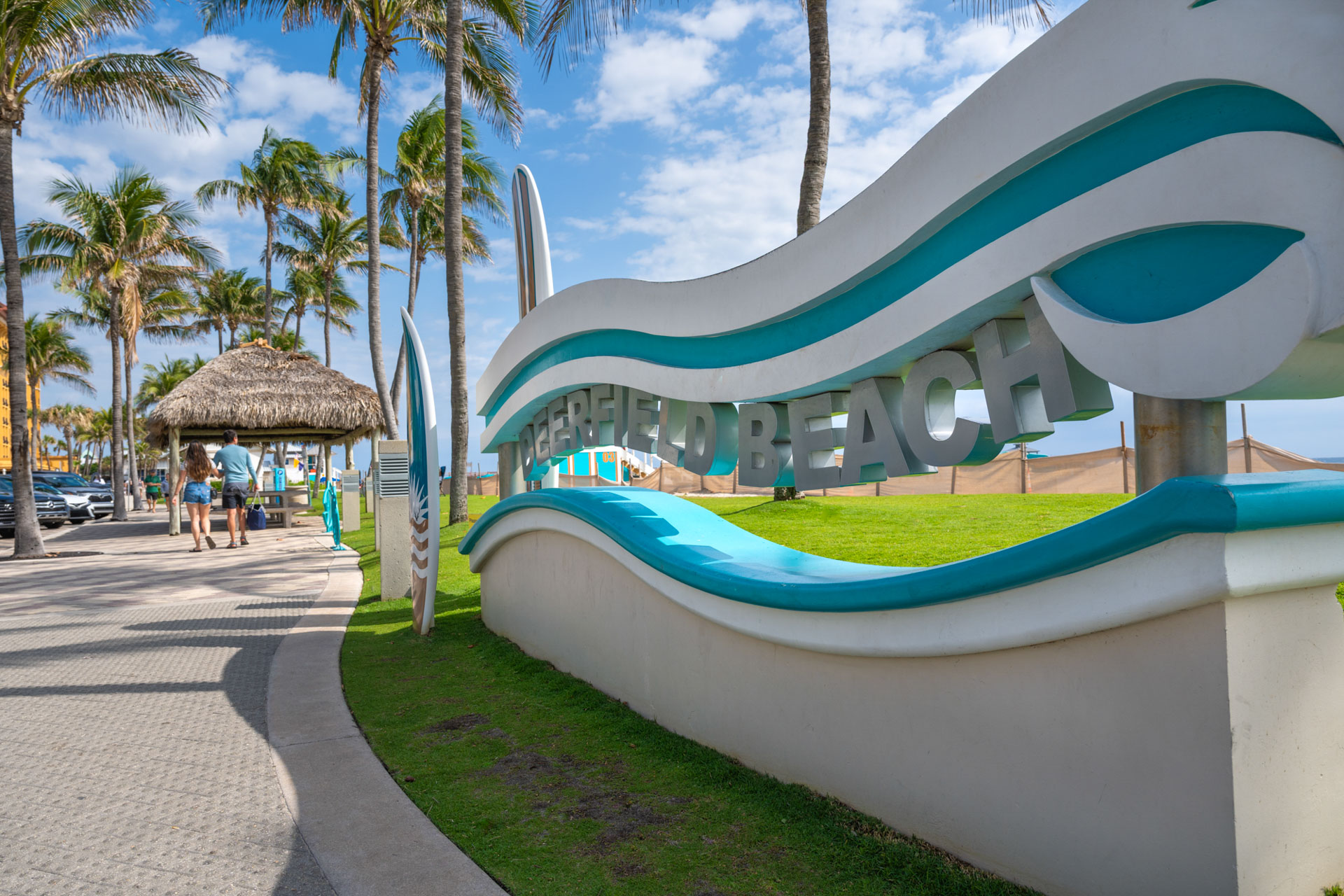
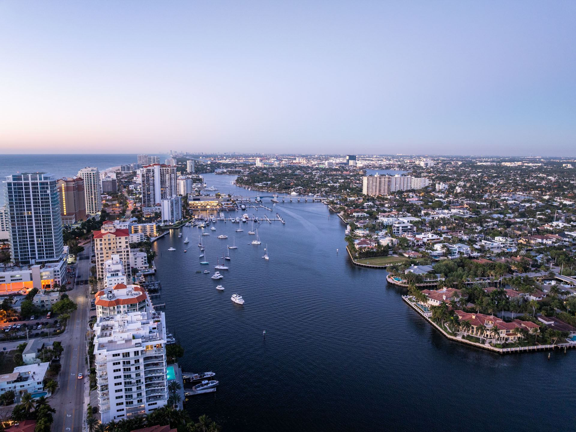
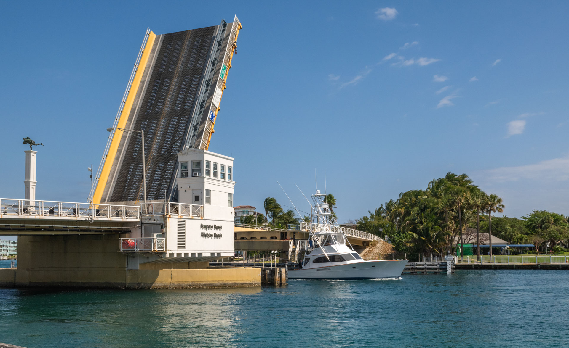
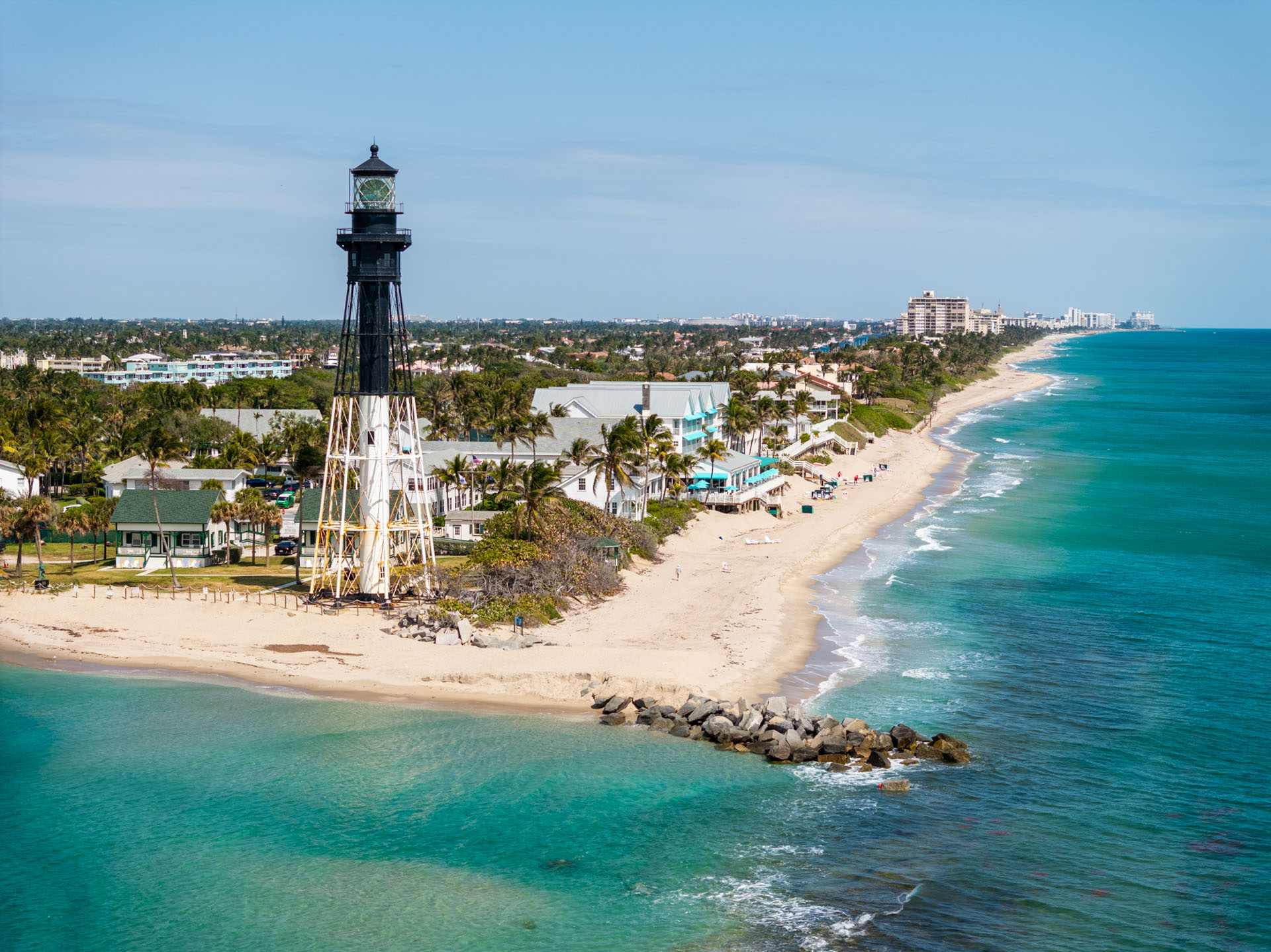
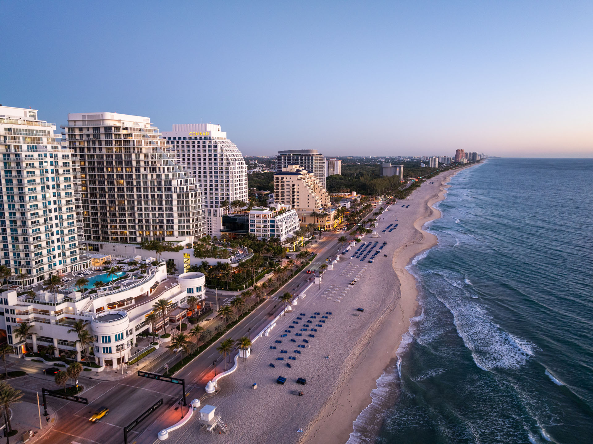
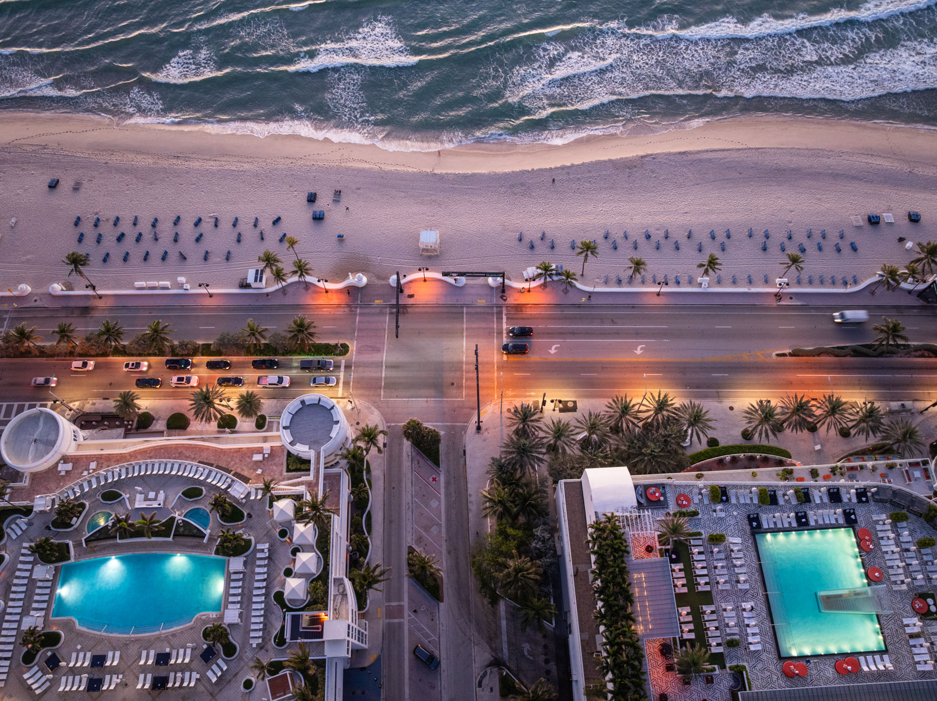
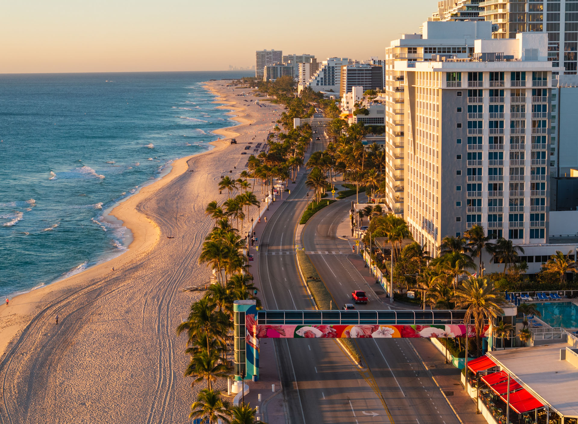
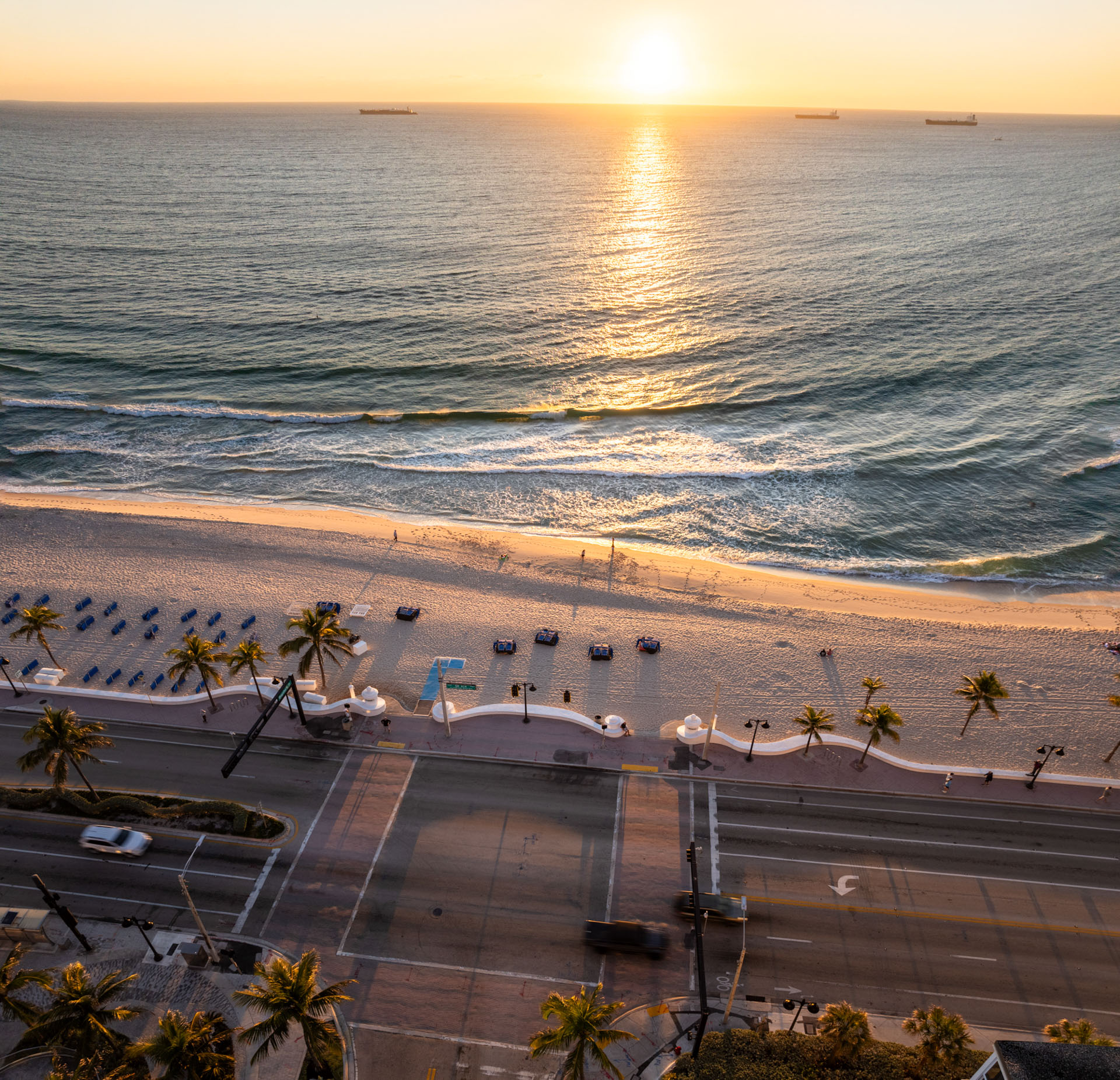
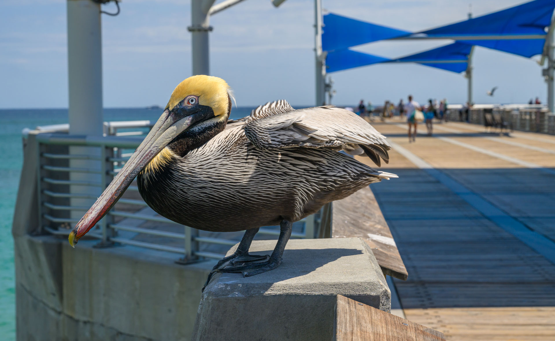
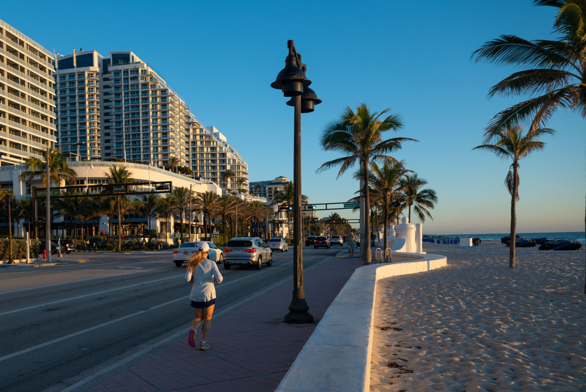
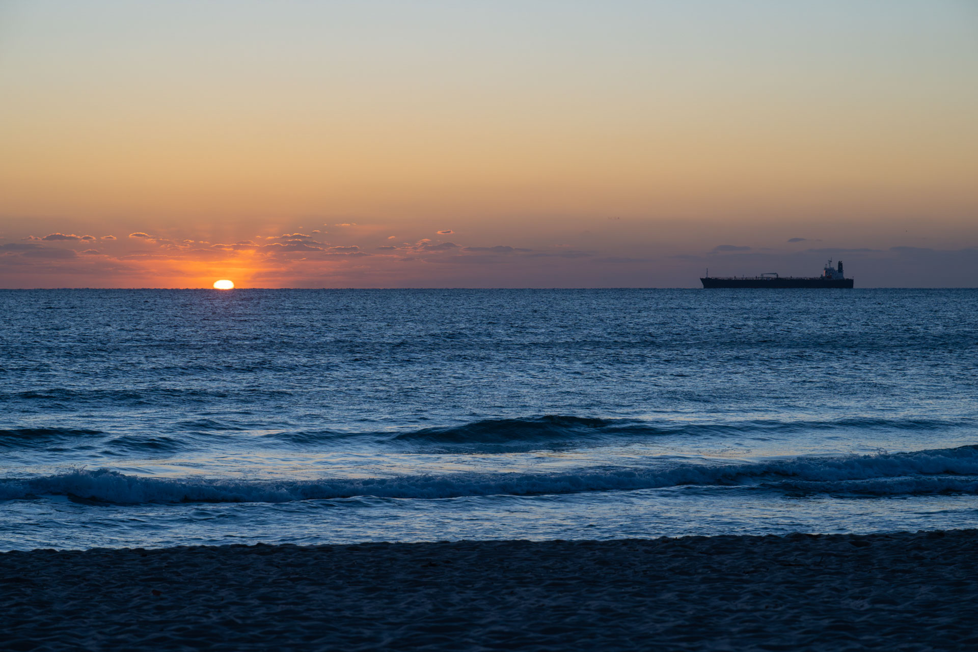
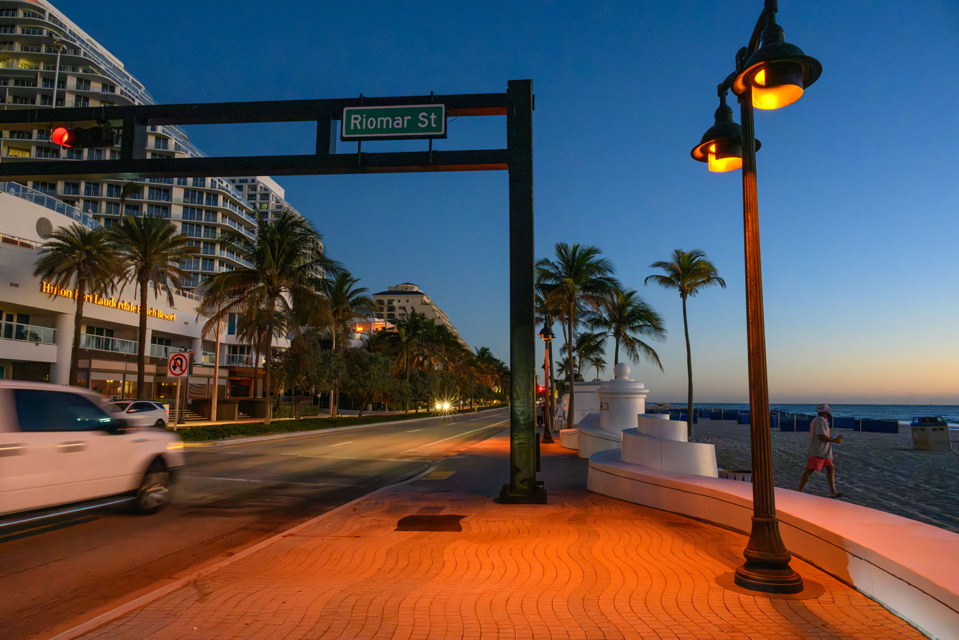
Broward County A1A Scenic Highway
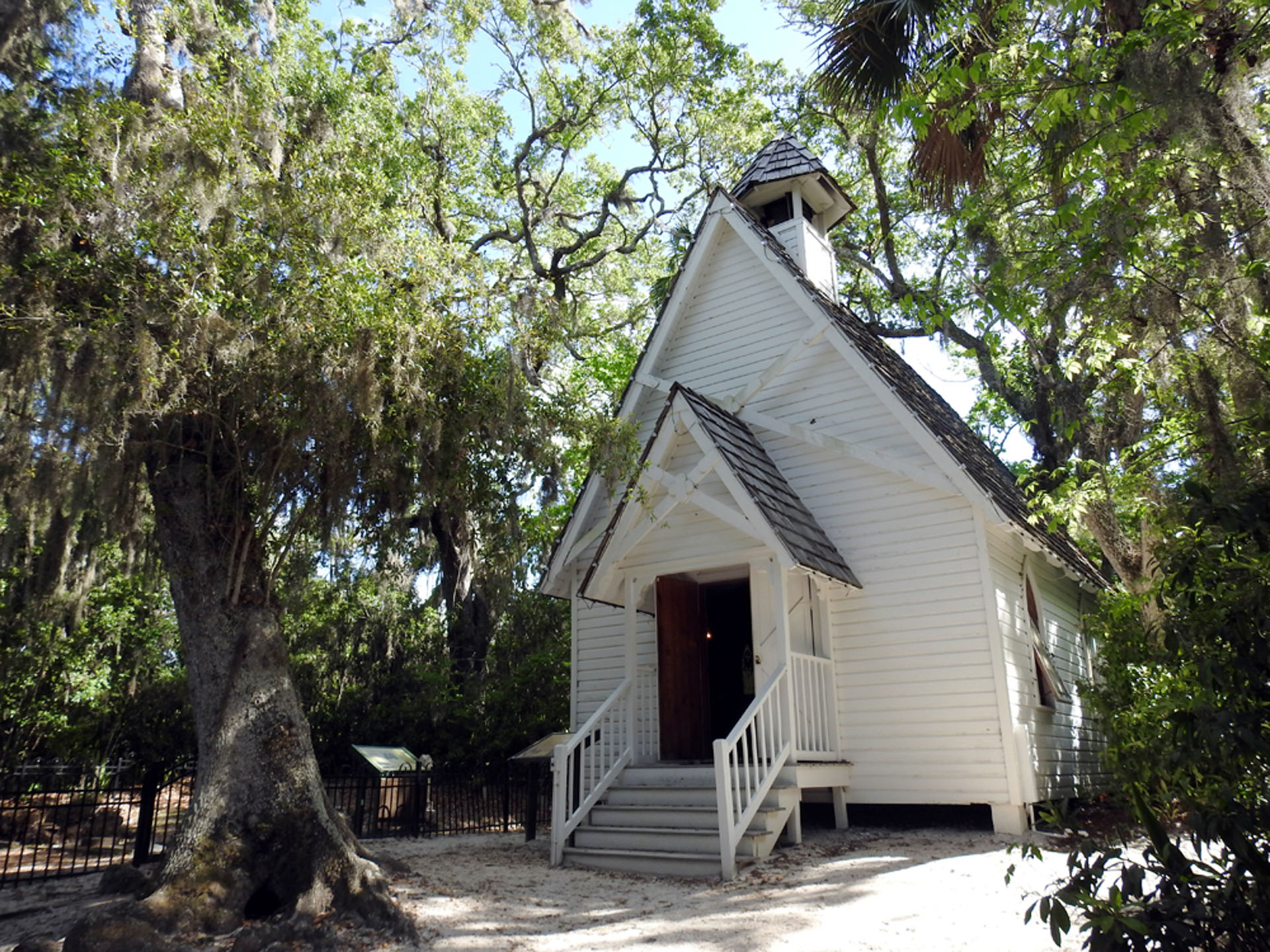
The Broward County A1A Scenic Highway is located alongside the Intracoastal Waterway, which is rich in history and home to rare, threatened, and endangered species, including the West Indian manatee and migratory birds.
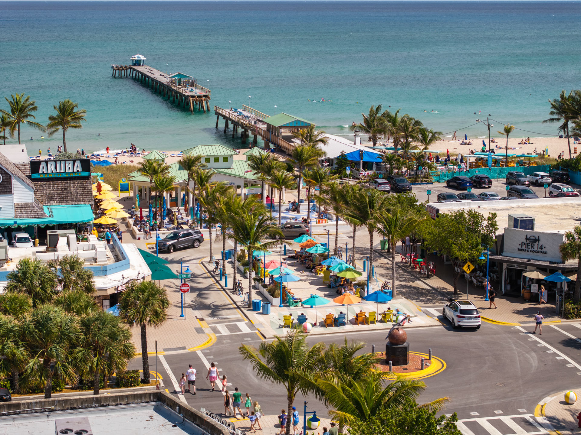
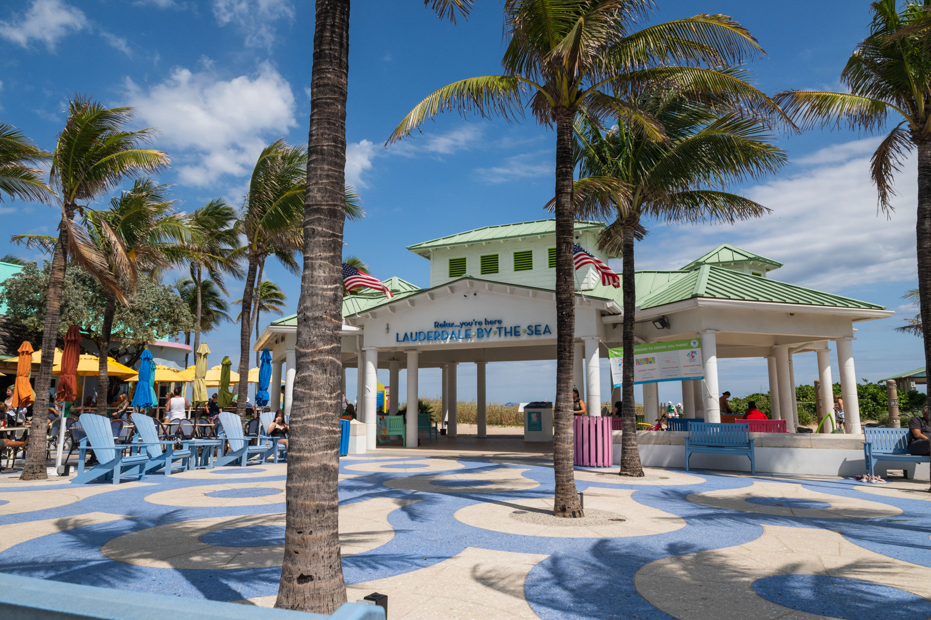
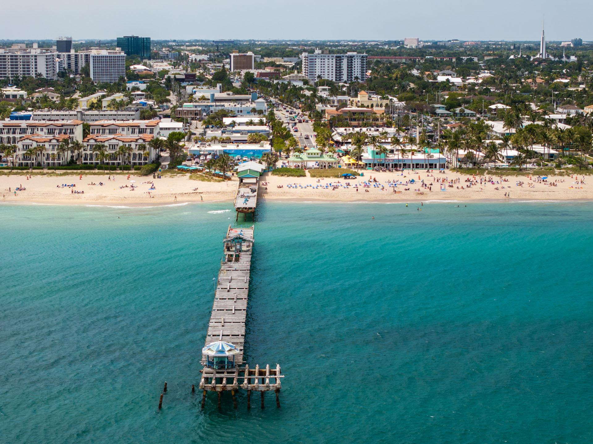
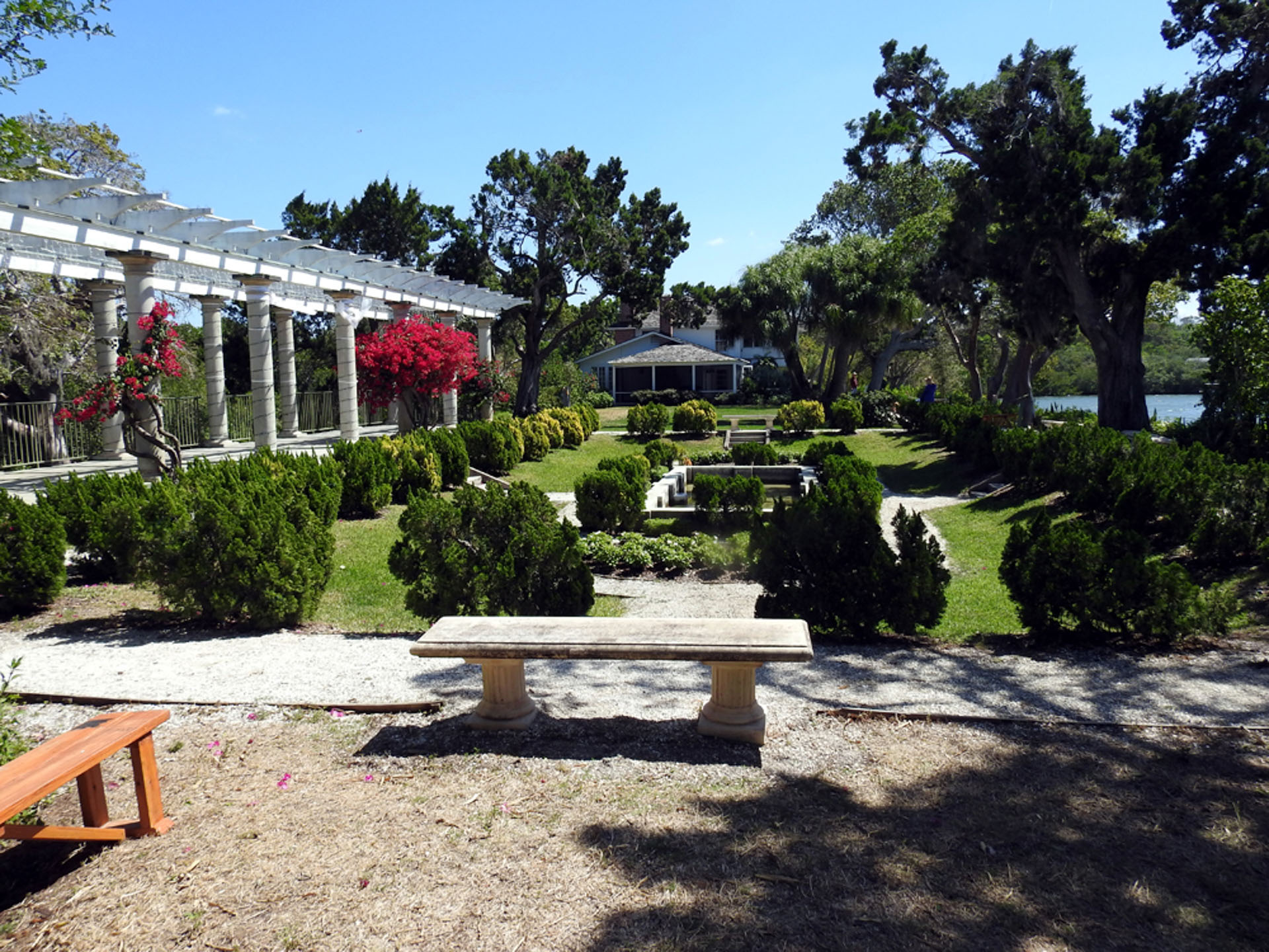
Broward County has a vibrant story, which is represented along the A1A corridor. Historic sites include the Barefoot Mailman Statue and Hillsboro Lighthouse in Hillsboro Beach, Indian Mound Park in Pompano Beach, the State Underwater Archaeological Preserve in Lauderdale-By-The-Sea, and the Bonnet House in Fort Lauderdale.
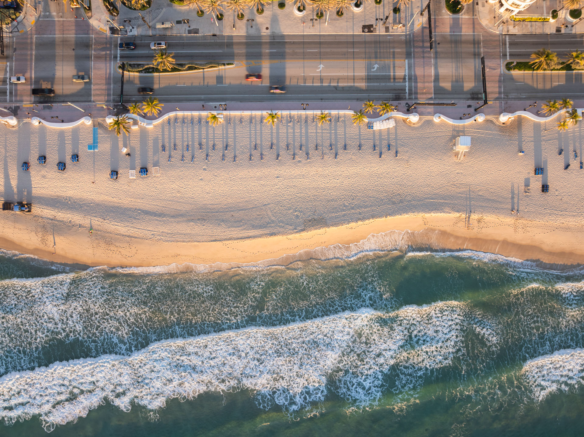
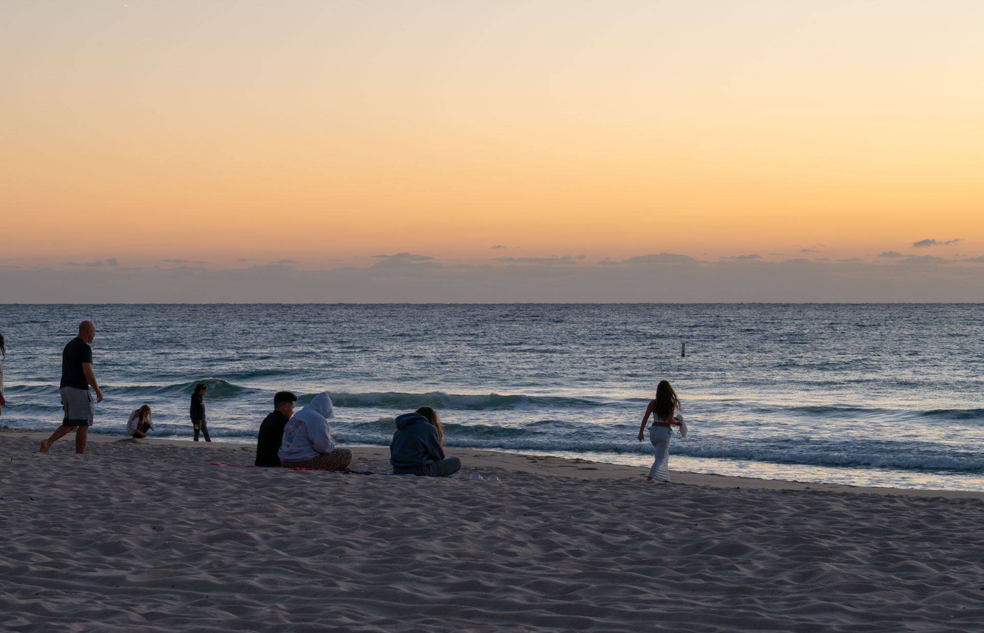
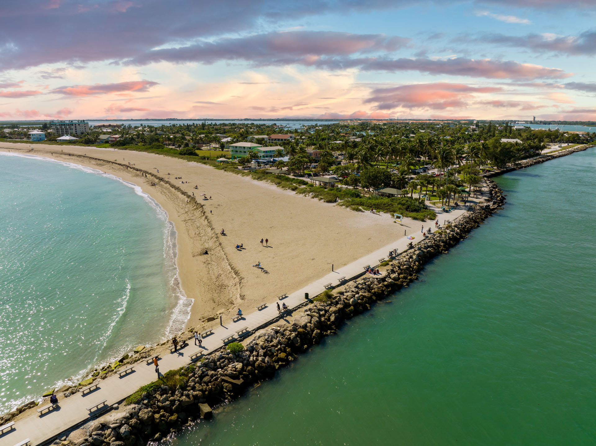
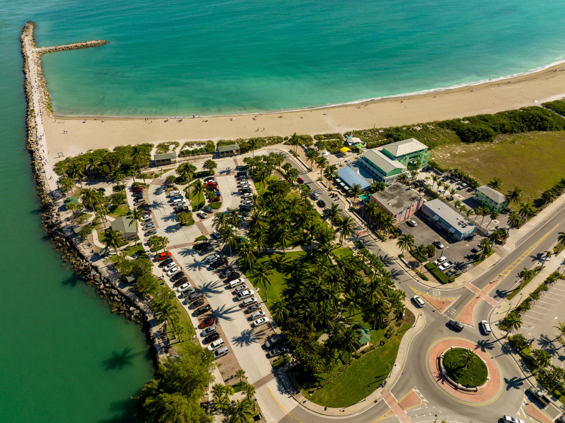
SR A1A traverses nine distinct beach communities; travelers can view sea turtle nests, indigenous dune plants, and a continuous ocean vista. Swimming, snorkeling, fishing, and hiking at recreational parks and piers are available year-round. The Pompano Beach Seafood Festival and the Dania Beach Arts & Seafood Celebration are just a couple of the large annual festivals and events along the byway.
Broward County A1A Scenic Highway Gallery
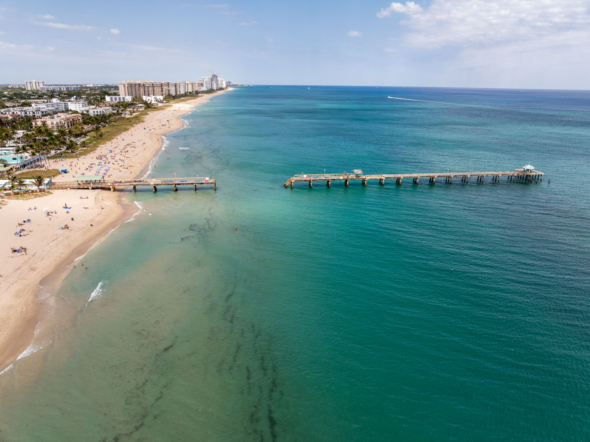
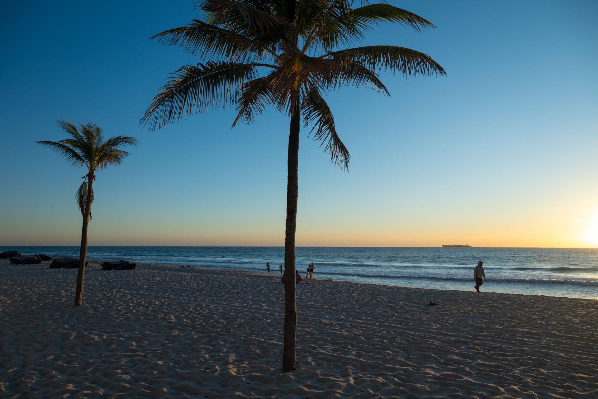
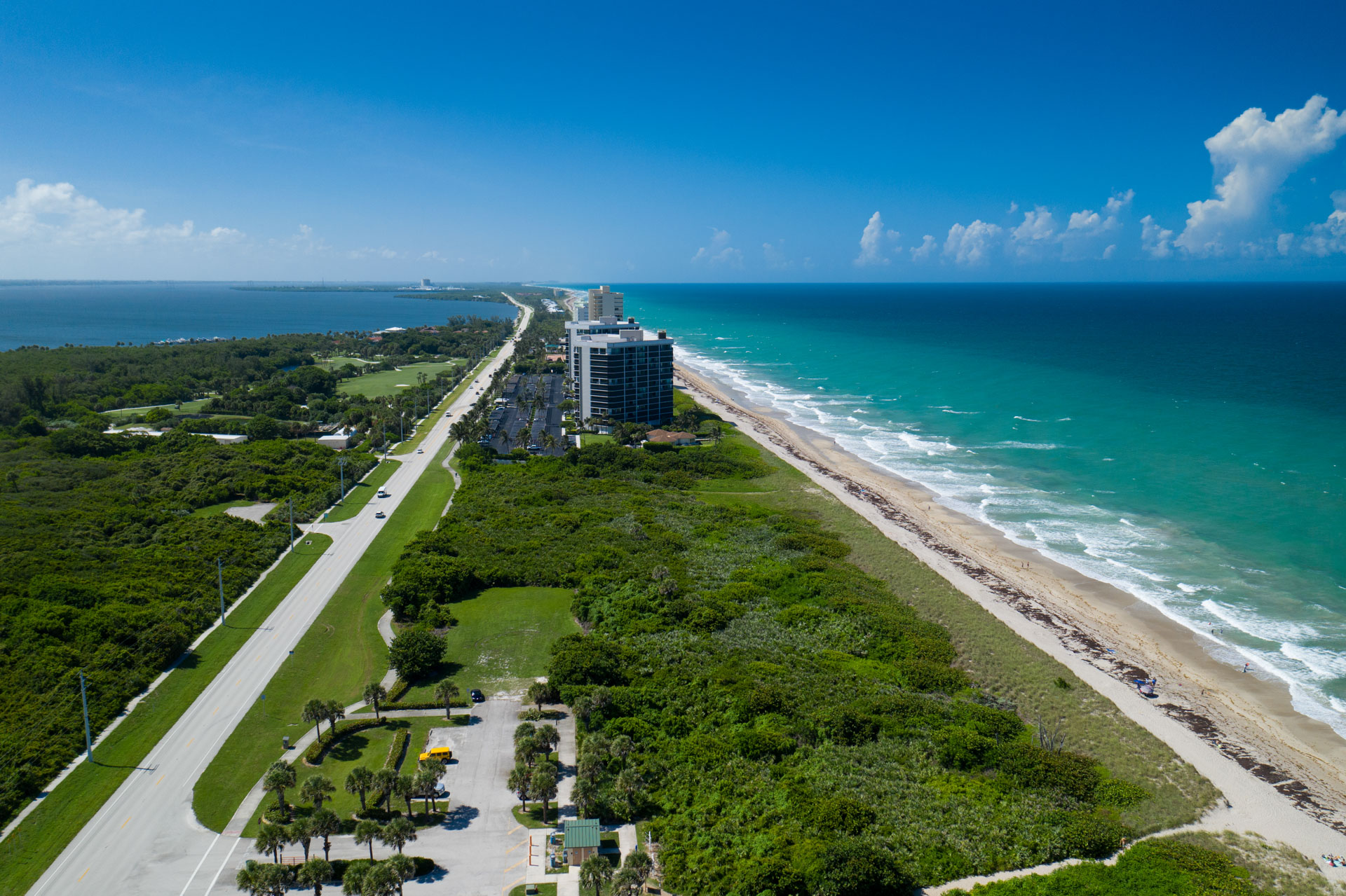
Indian River Lagoon – Treasure Coast Scenic Highway
The byway includes sections of two iconic American roadways: A1A and US1. US 1 on the mainland takes you through Fort Pierce and Port St. Lucie.
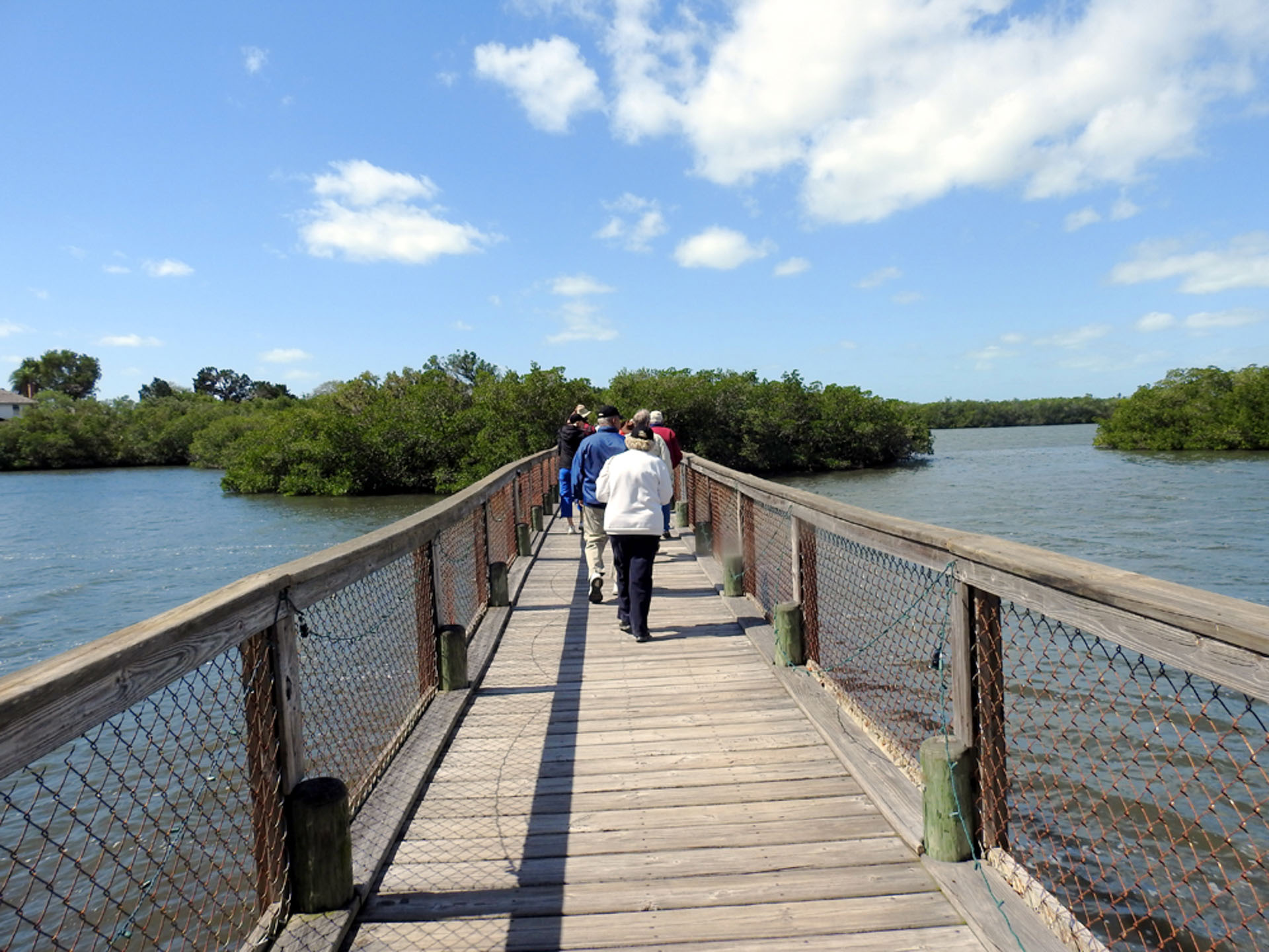
A1A on the barrier island takes you along the Atlantic Ocean. What makes the Indian River Lagoon – Treasure Coast Scenic Highway extraordinary is the view from the sandy, coastal dunes that drift out into the Atlantic Ocean to the mangrove-covered banks of the Indian River Lagoon – home to more than 4,000 species of plants and animals, including 50 species that are endangered or threatened.
This corridor is more than a paved path from Point A to Point B. It’s an educational experience to enhance St. Lucie County’s remarkable historical, cultural, and environmental resources.
Indian River Lagoon – Treasure Coast Scenic Highway Gallery
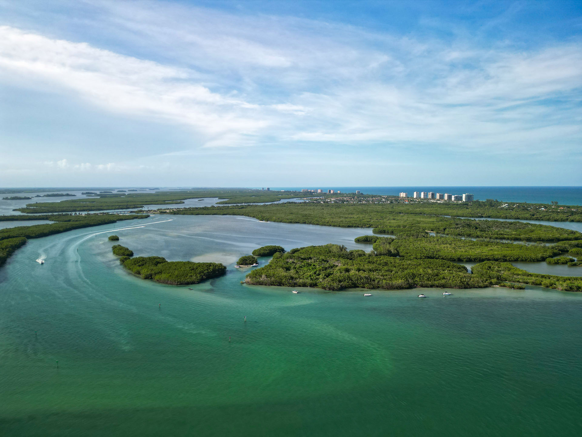
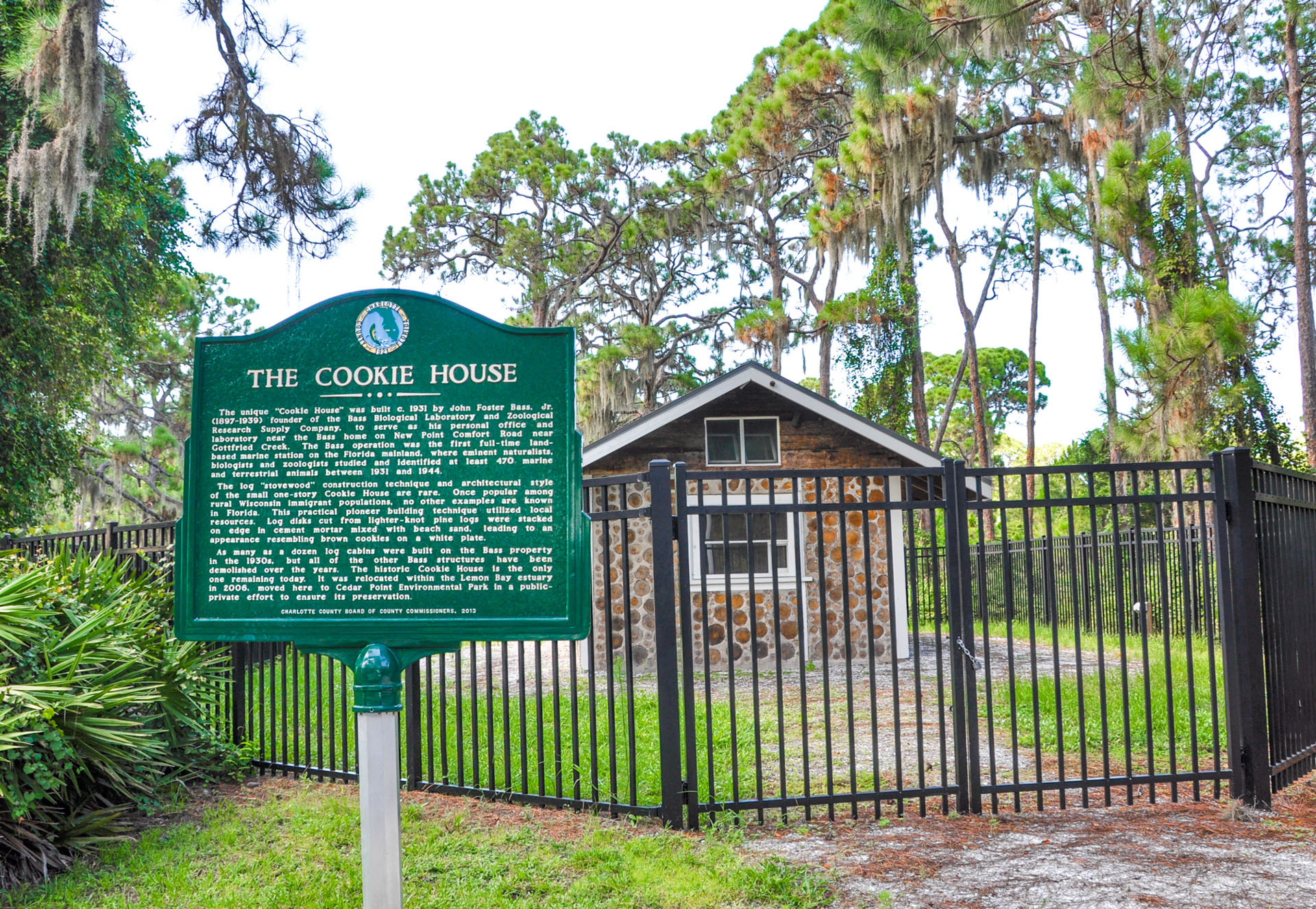
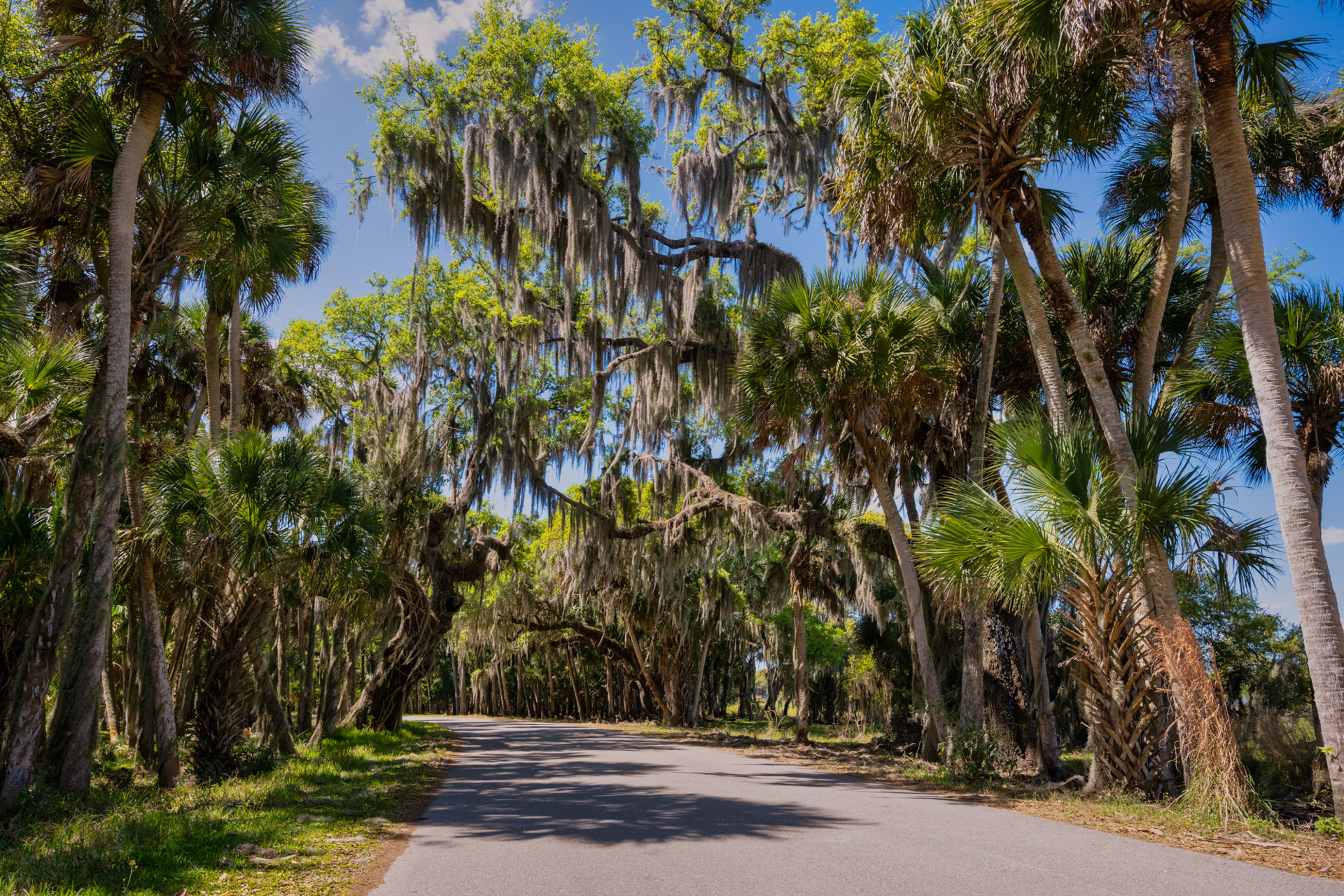
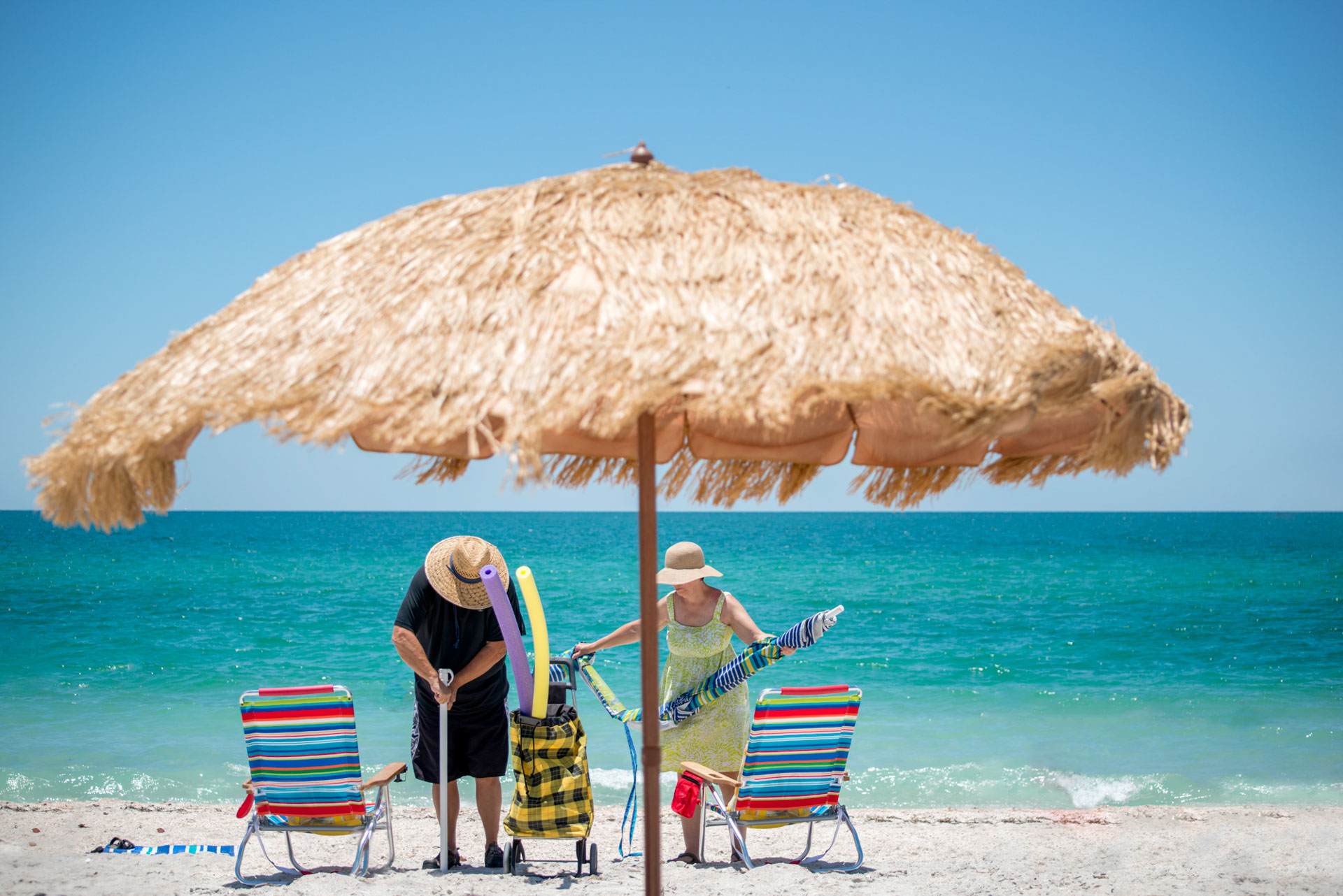
Lemon Bay/Myakka Trail Scenic Highway
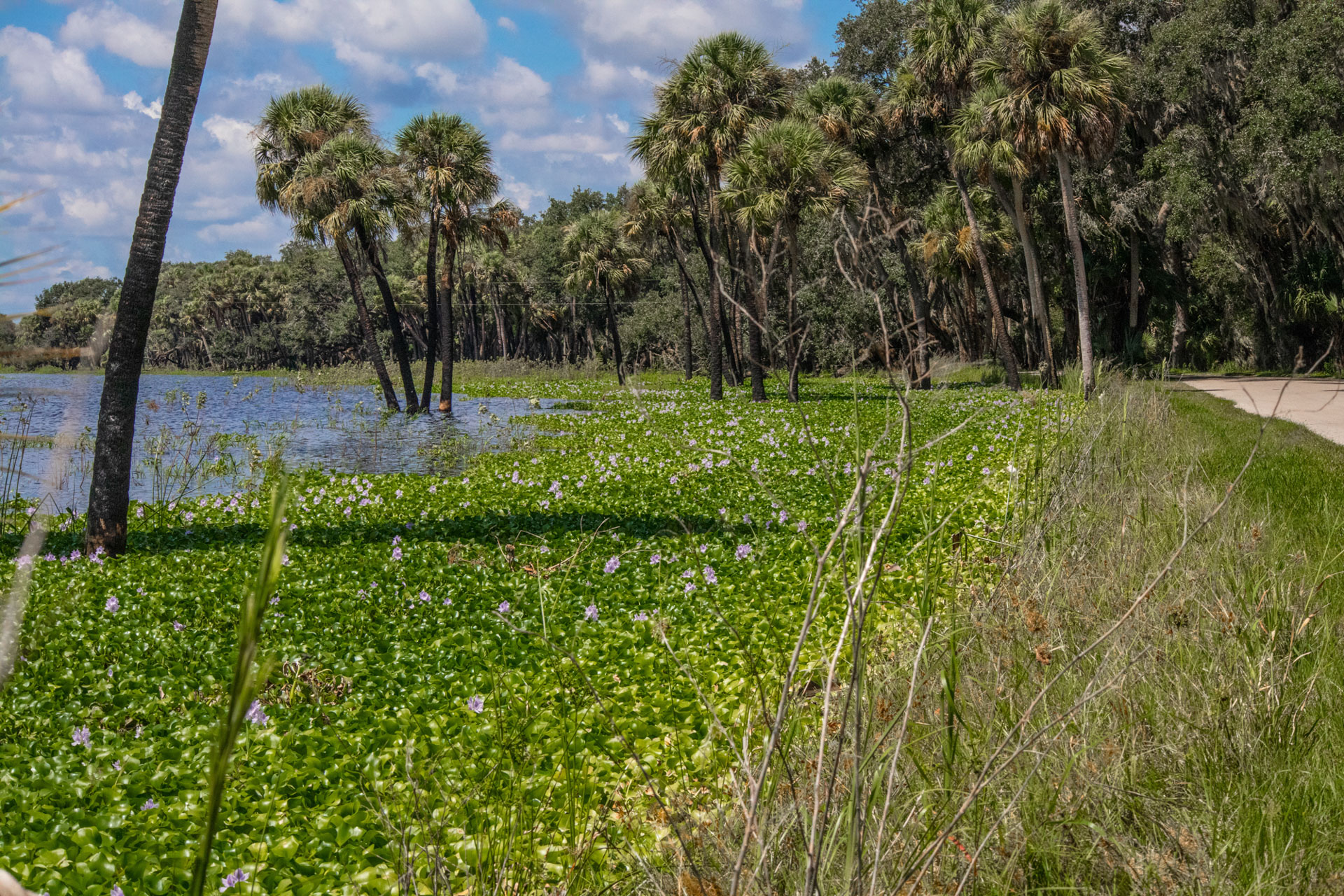
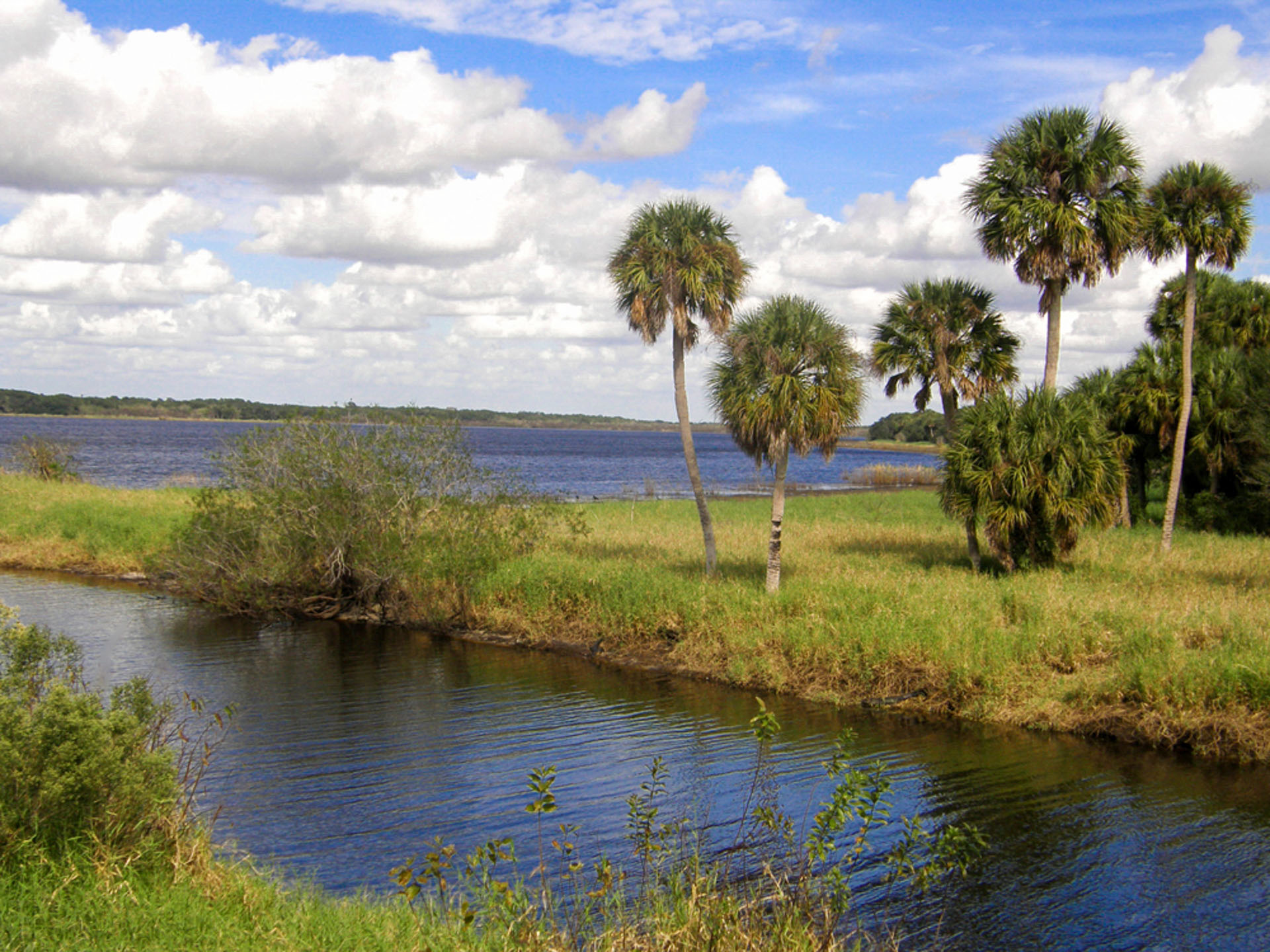
Located along the magnificent southwestern Florida coast, the Lemon Bay/Myakka Trail is the best of Old Florida. Myakka State Forest has many trails for hiking, cycling, or horseback riding.
Olde Englewood Village Historic District via the Old Englewood Loop. Buchan’s Landing, a structure on Dearborn Street that housed a store, post office, and residence, was a magnet drawing early settlers and businesses. Stop by the butterfly farm and trails at the expansive Lemon Bay Park. The Manasota Key beaches are great for relaxing, swimming, driving, boating, hiking, and cycling more slowly to immerse yourself in the history and culture.
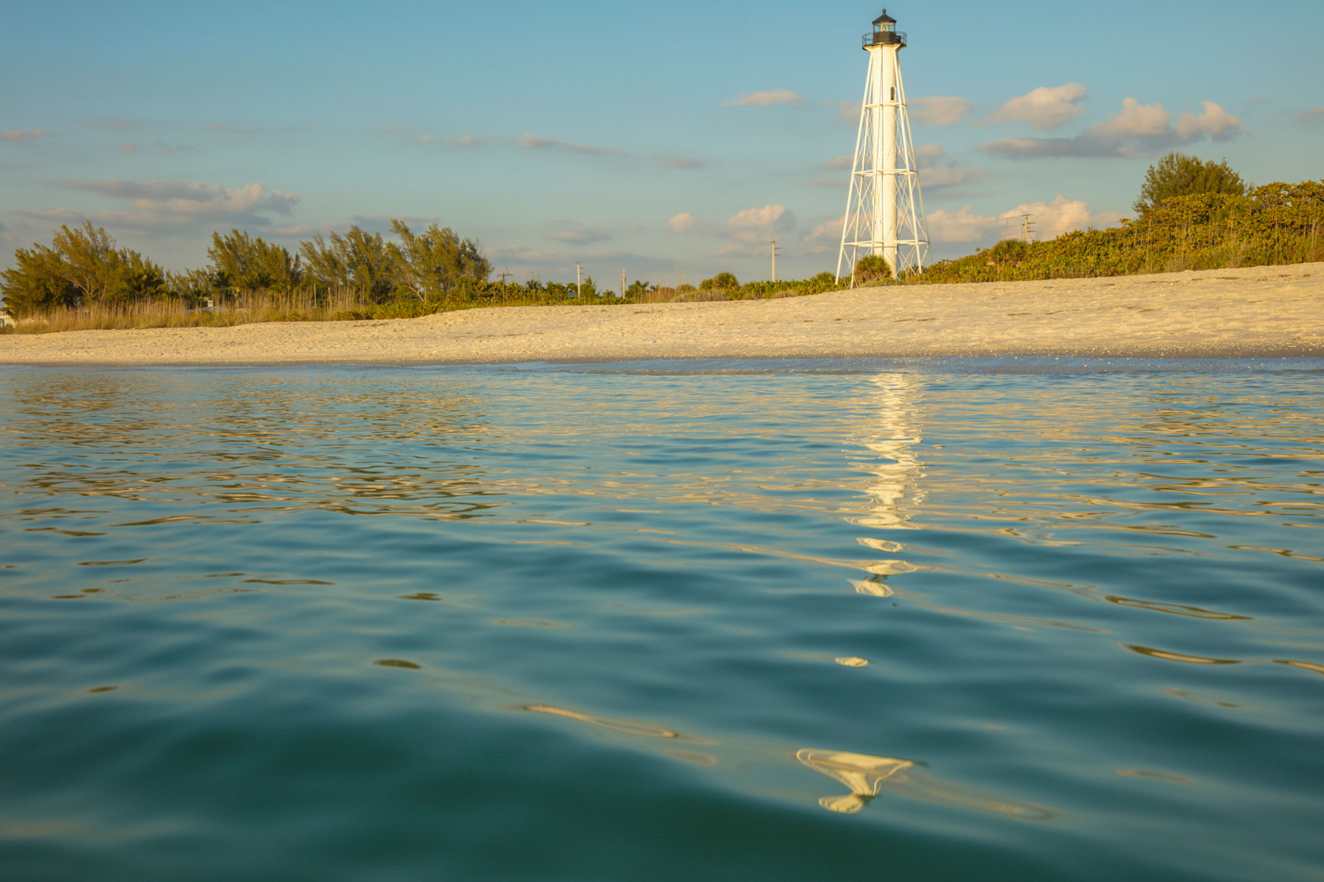
Great trails, like the Cape Haze Pioneer Trail, great water activities, barrier Islands like Gasparilla Island, Boca Grande, Manasota Key, and the historic Boca Grande Lighthouse.
Lemon Bay/Myakka Trail Scenic Highway Gallery
Tamiami Trail – Windows to the Gulf Coast Waters
The Tamiami Trail – Windows to the Gulf Coast Waters scenic byway flows along US 41 from the Sarasota/Charlotte County line to the Manatee/Hillsborough County line for 70 miles.
Barron Gift Collier funded the construction of this road after the State ran out of money in the early 1900s. This millionaire wanted a direct route to Miami’s wealth, and the Tamiami Trail, which opened in 1928, fulfilled that aim.
In 95-degree heat, humidity, mosquitoes, and alligator-filled swampland, the workers dredged the land and built up the road to prevent flooding, cutting through thick tropical forest to open southwest Florida to the rest of the world.
The byway takes travelers through many Florida cities such as Palmetto, Bradenton, Sarasota, Venice, and North Port, all rich in culture, architecture, recreation, and history.